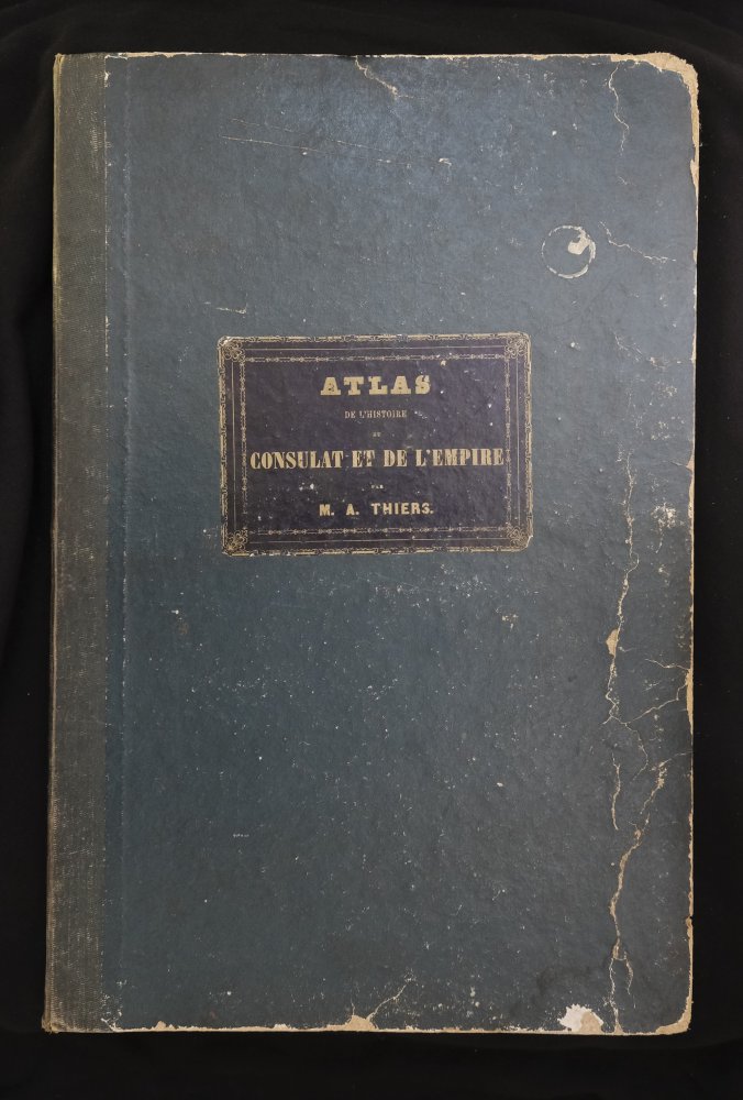
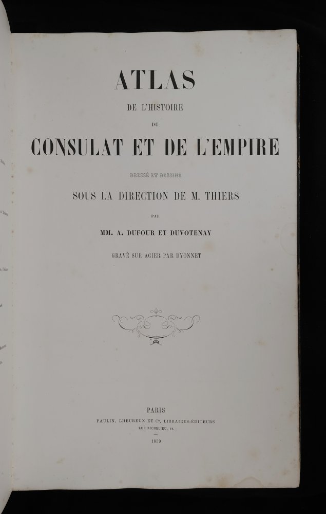
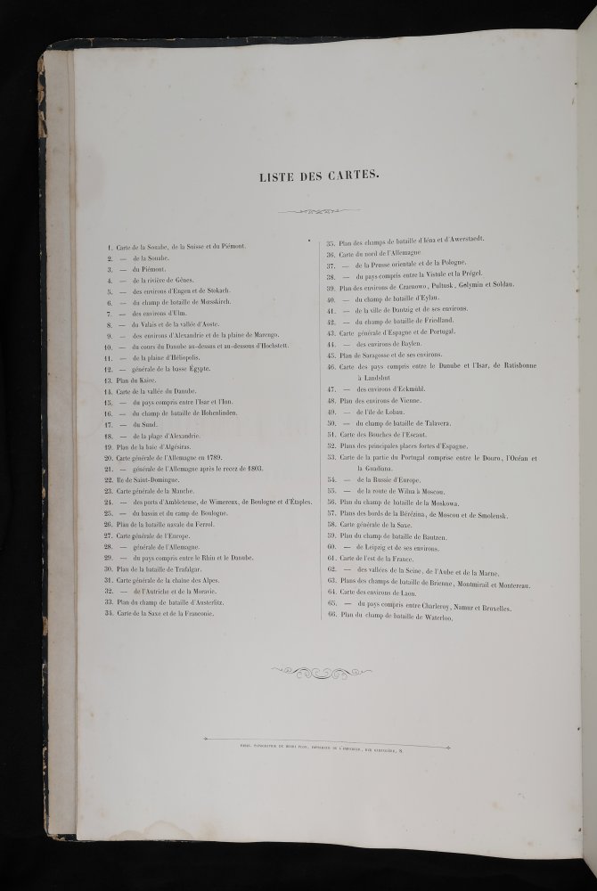
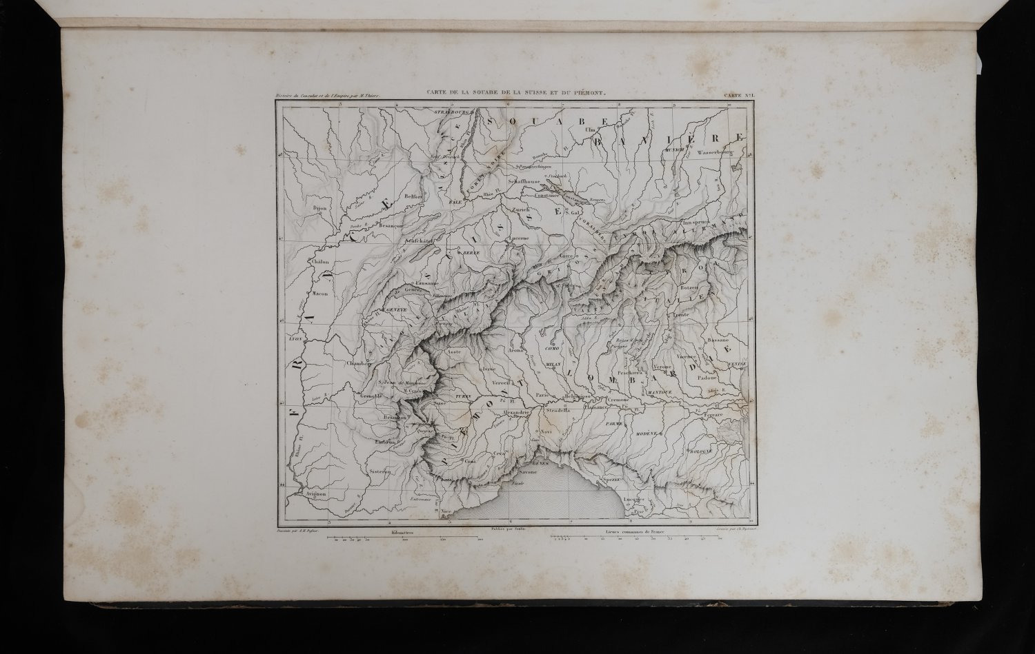
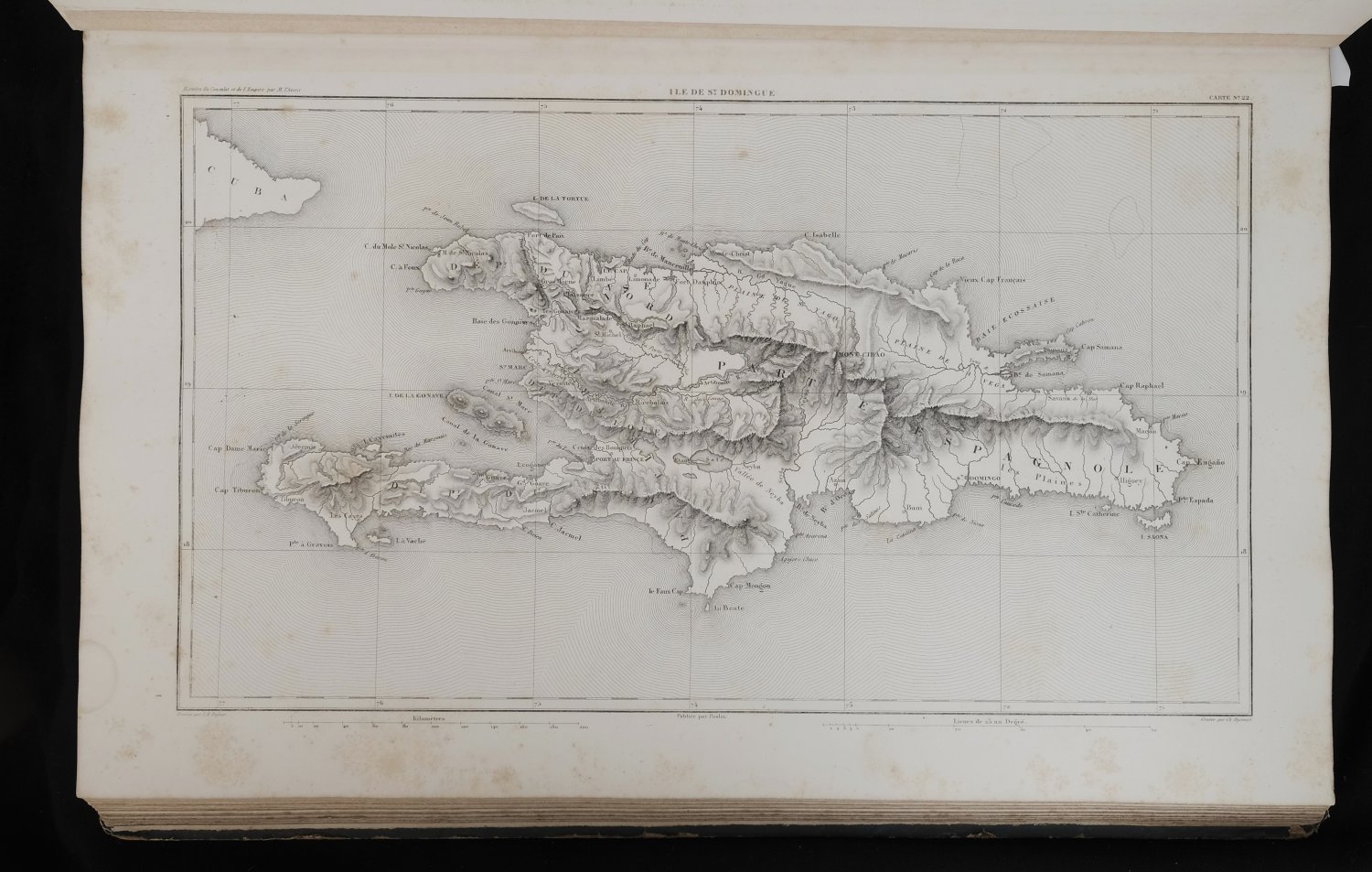
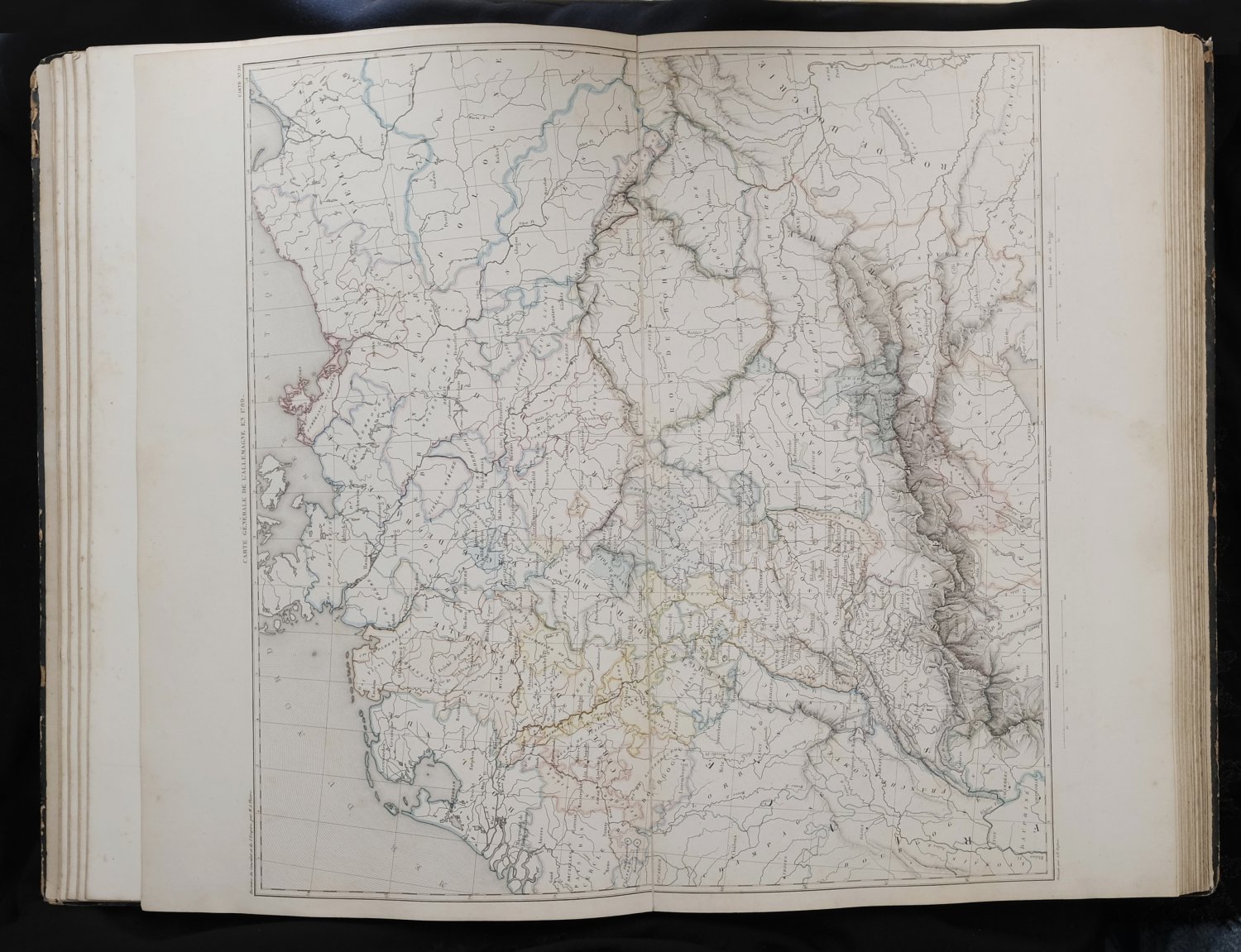
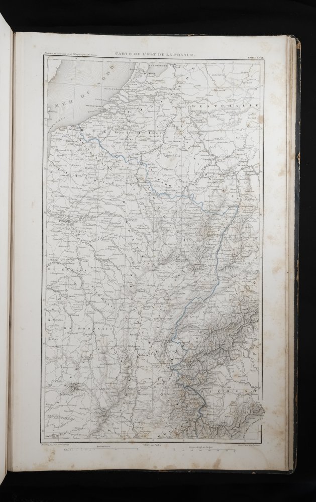
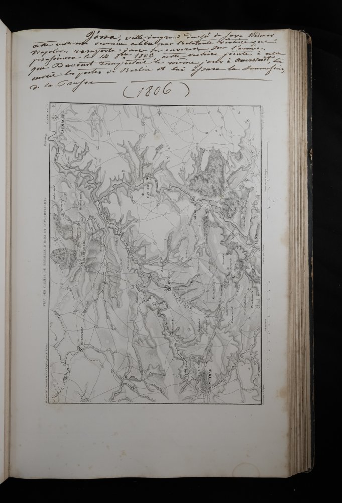
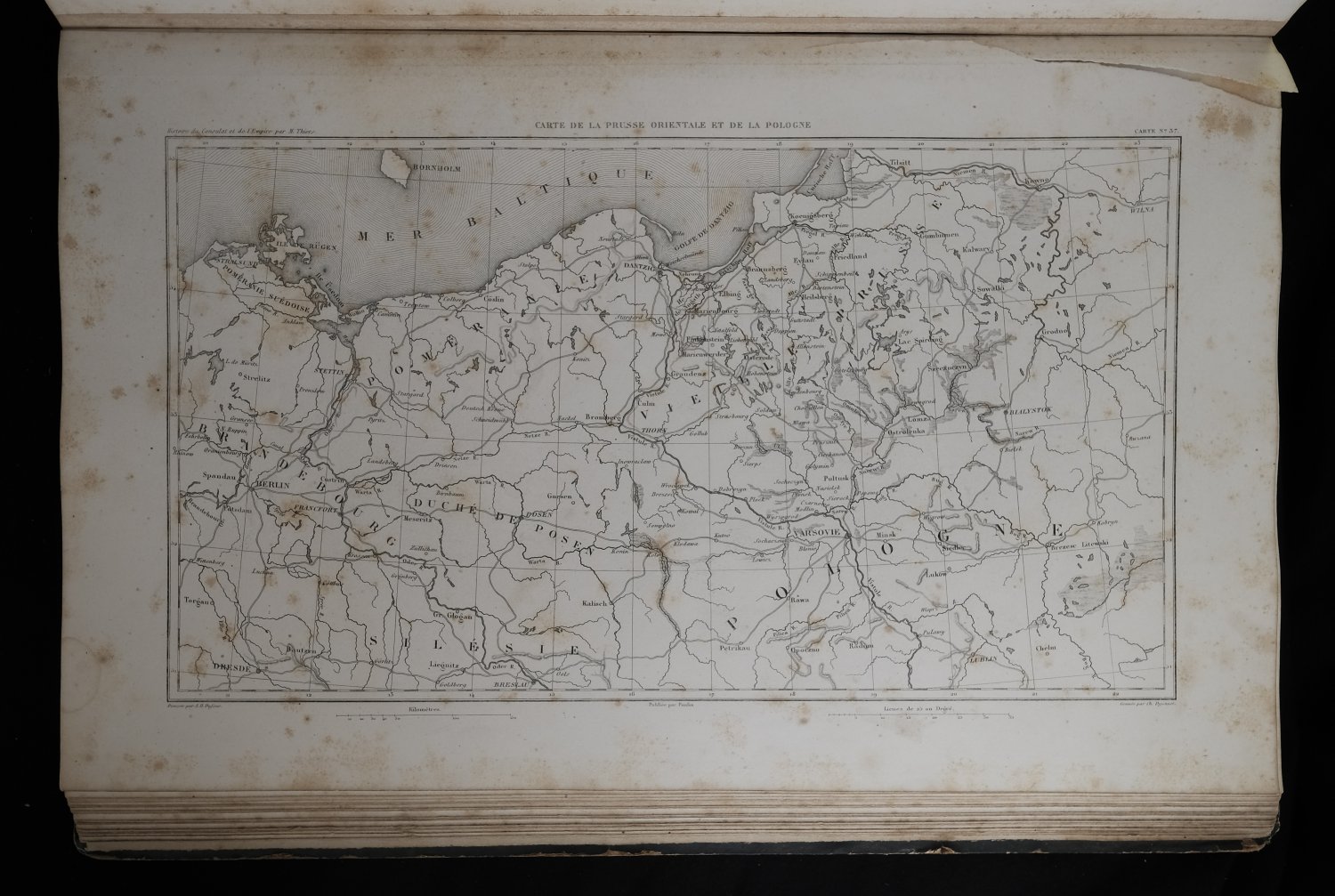
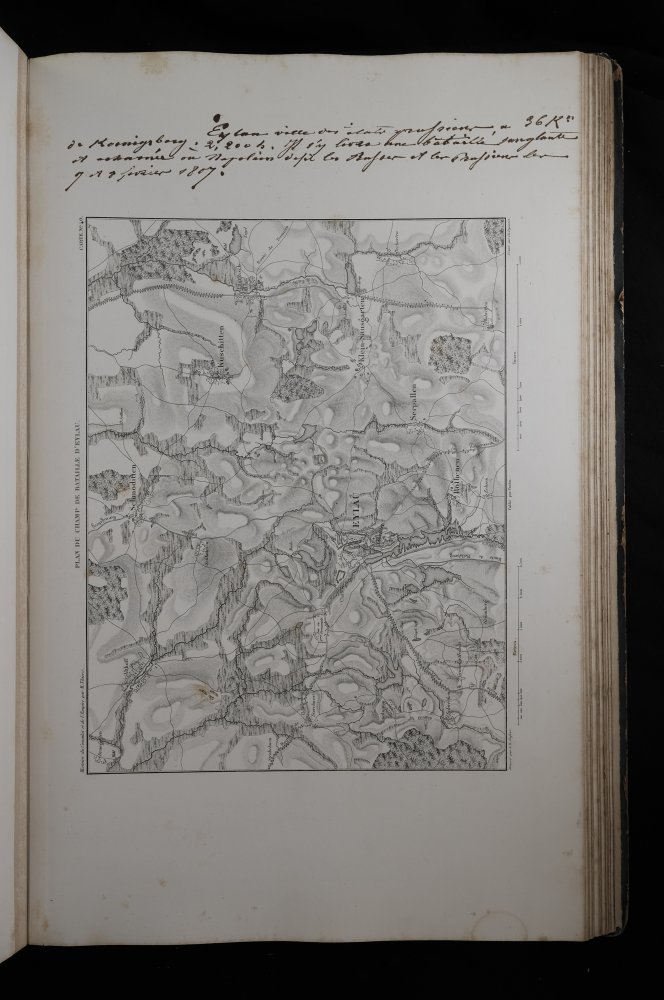
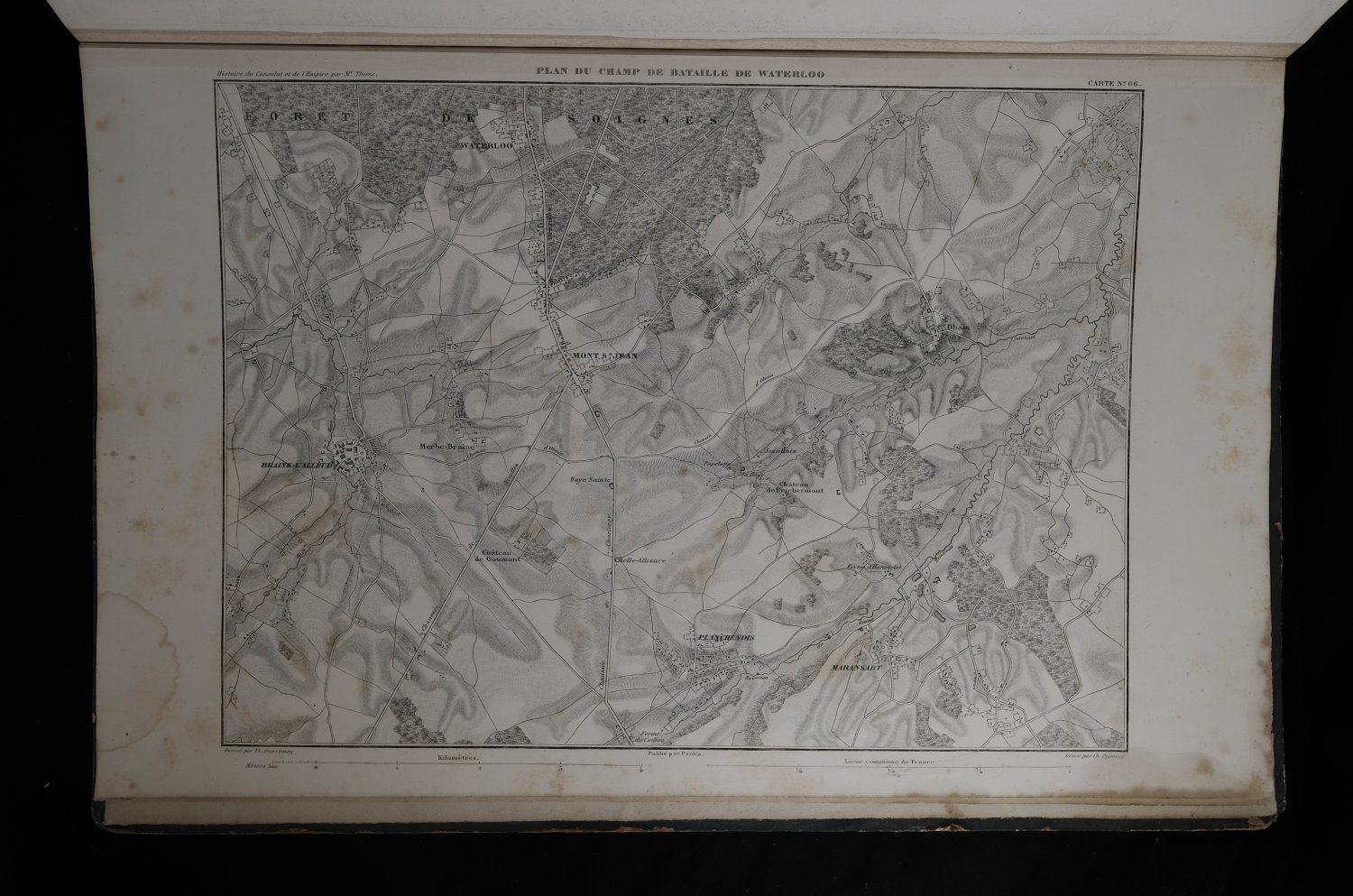
| Atlas de l'histoire du Consulat et de l'Empire. Dressé et dessiné sous la direction de M. Thiers, par MM. A. Dufour et Duvotenay. Gravé sur acier par DyonnetAtlas de l'histoire du Consulat et de l'Empire. Dressé et dessiné sous la direction de M. Thiers, par MM. A. Dufour et Duvotenay. Gravé sur acier par Dyonnet
| details_place | Paris |
| details_publisher | Paulin, Lheureux et cie |
| details_complete | Yes |
| details_condition | 7 |
| language | FRA |
| details_medium | books |
| details_illustrated | Yes |
| details_bindingdescription | Contemporary Half Linen with Paper Boards |
| details_sizedescription | Elephant Folio |
| details_heightcm | 44 |
| details_widthcm | 29.5 |
| details_thickcm | 2.5 |
| details_firstedition | No |
| details_auteur_code | THIERS |
| details_gewicht | 2.16 |
| details_bookid | 5485 |
| € 185.00
A. Thiers,
1859
|
moreinfo
more information |
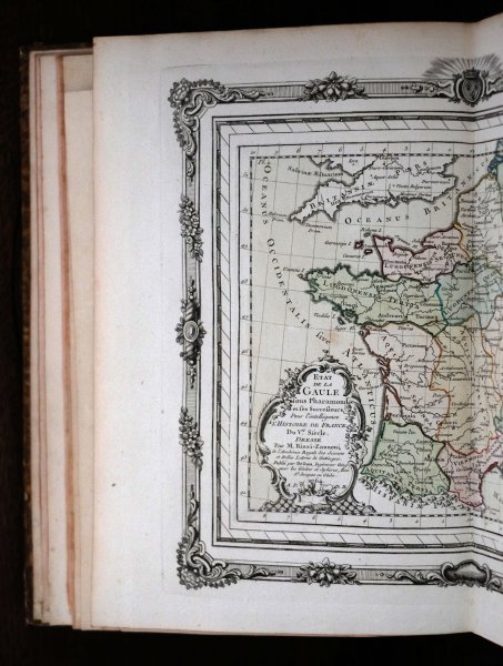
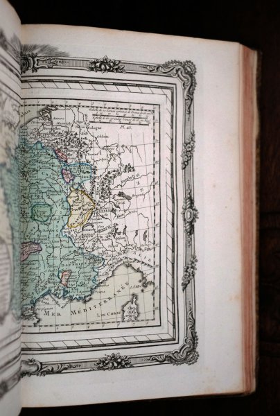
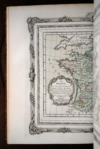
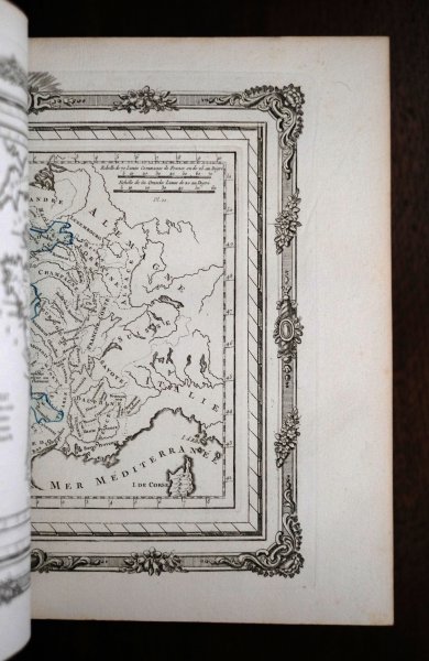
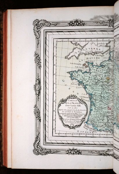
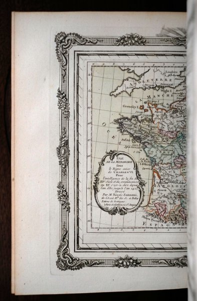
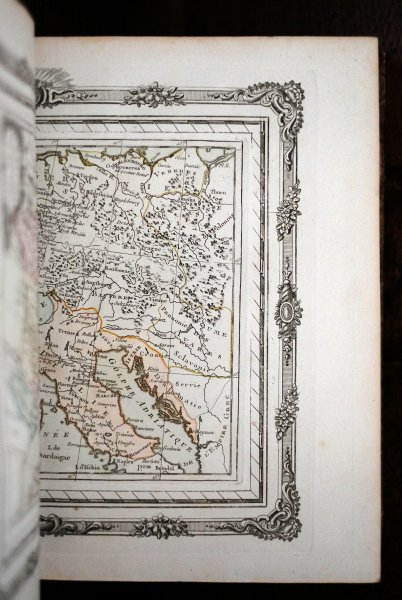
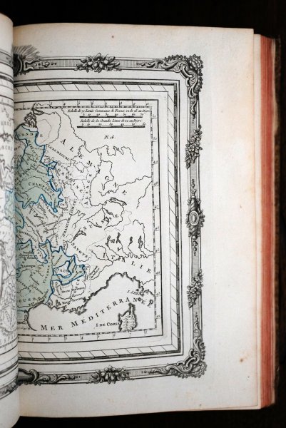
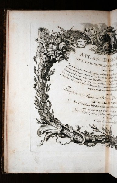
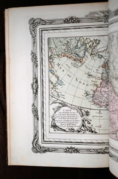
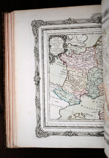
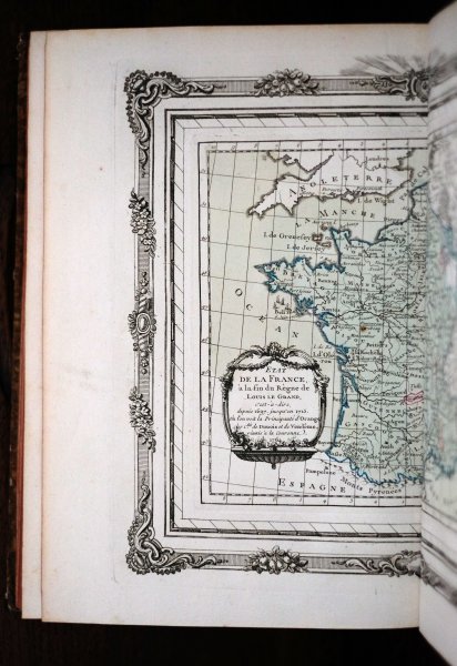
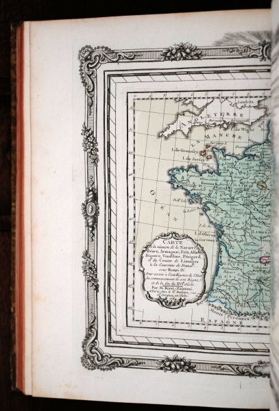
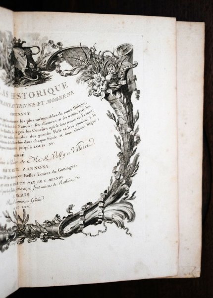
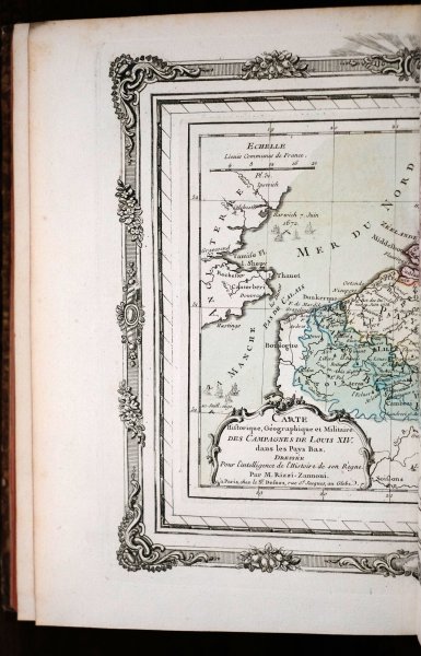
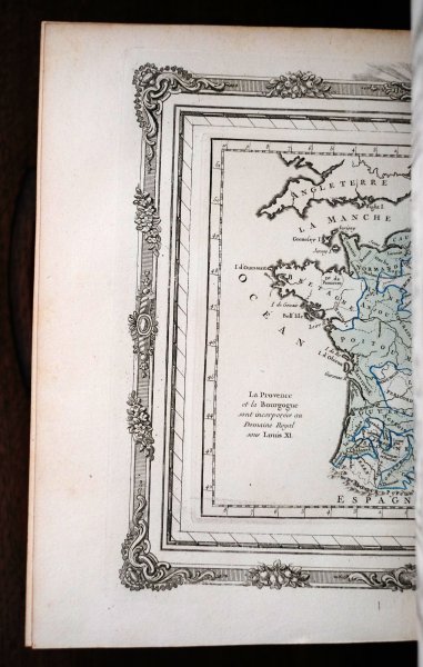
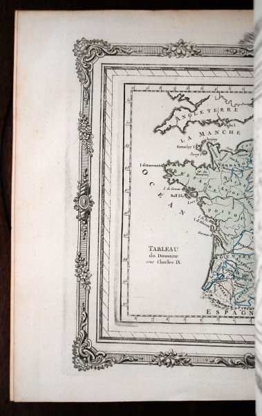
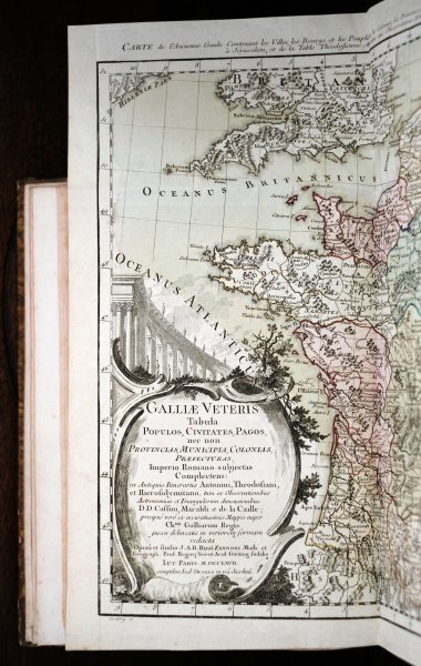
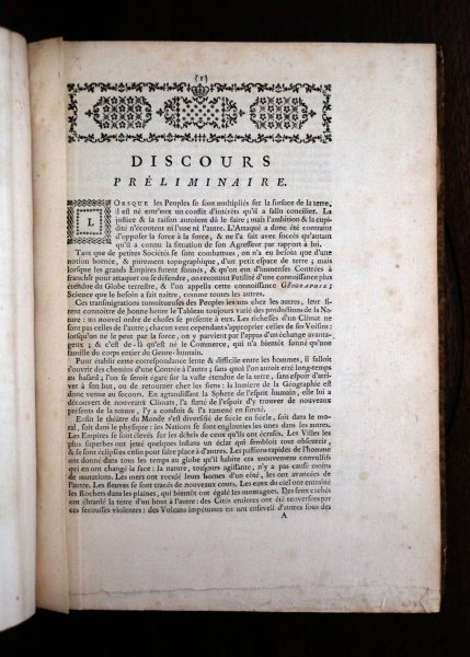
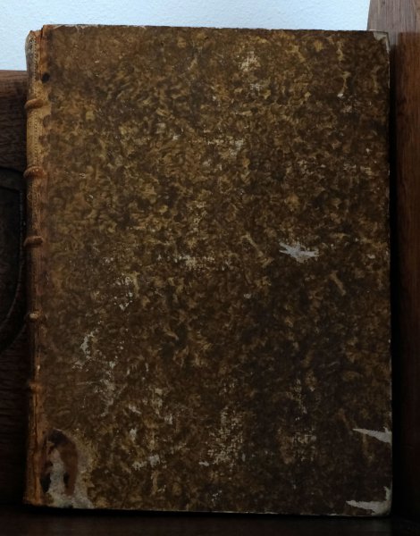
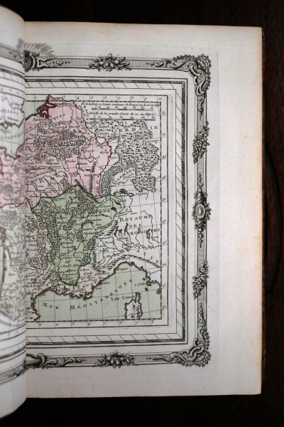
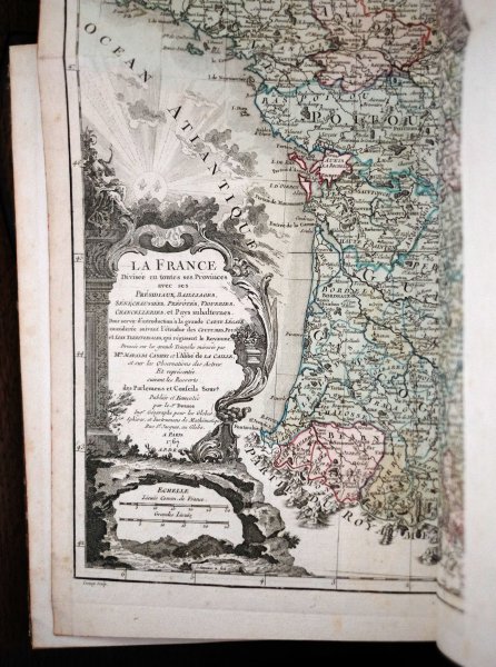
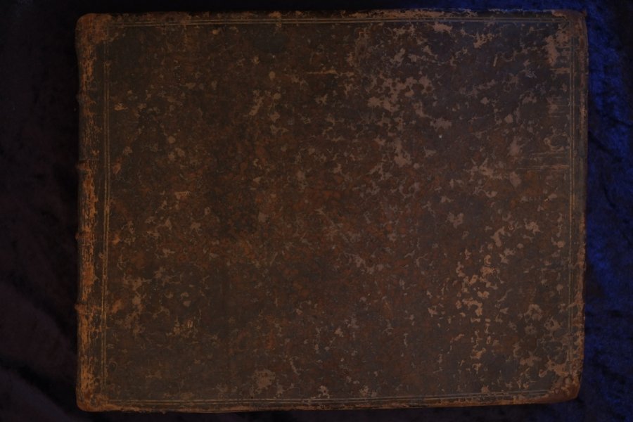
| Atlas historique de la France ancienne et moderne contenant. Tous les lieux illustres par les événemens les plus mémorables de notre Histoire: les conquêtes, les pertes et les succés de la Nation: se...Atlas historique de la France ancienne et moderne contenant. Tous les lieux illustres par les événemens les plus mémorables de notre Histoire: les conquêtes, les pertes et les succés de la Nation: ses alliances et ses traités avec les Puissances Européennes: les Batailles, les Sièges, les Conciles qui se font tenus en France: les ordres Religieux qui s'y font établis: l'étendue des grands Fiess et leur reunion à la Couronne ensin toutes les révolutions de la Monarchie dans chaque Siècle et sous chaque Règne: depuis Pharamond jusqu'à Louis XV. Dressé. Par M. Rizzi Zannoni. De l'Académie Rle des Sciences et Belles Lettres de Gottingue. Mis au Jour et éxécuté par le S. Desnos. A Paris, M. DCC. IXV.
| details_place | Paris |
| details_publisher | Rue o. Jacques |
| details_complete | Yes |
| details_condition | 8 |
| language | FRA |
| details_medium | books |
| details_illustrated | Yes |
| details_bindingdescription | Contemporary Full Leather |
| details_sizedescription | Quarto 4to |
| details_heightcm | 30 |
| details_widthcm | 22 |
| details_thickcm | 3 |
| details_firstedition | No |
| details_auteur_code | ZANNONI |
| details_gewicht | 1.28 |
| details_collation | 2 Blank pages / 2 Engraved Title / 16 Pages / 2 Blank pages / 1 Folding maps / 57 Double page maps |
| details_bookid | 3181 |
This book can only be viewed by appointment.
| € 975.00
M. Rizzi Zannoni,
1765
|
moreinfo
more information |
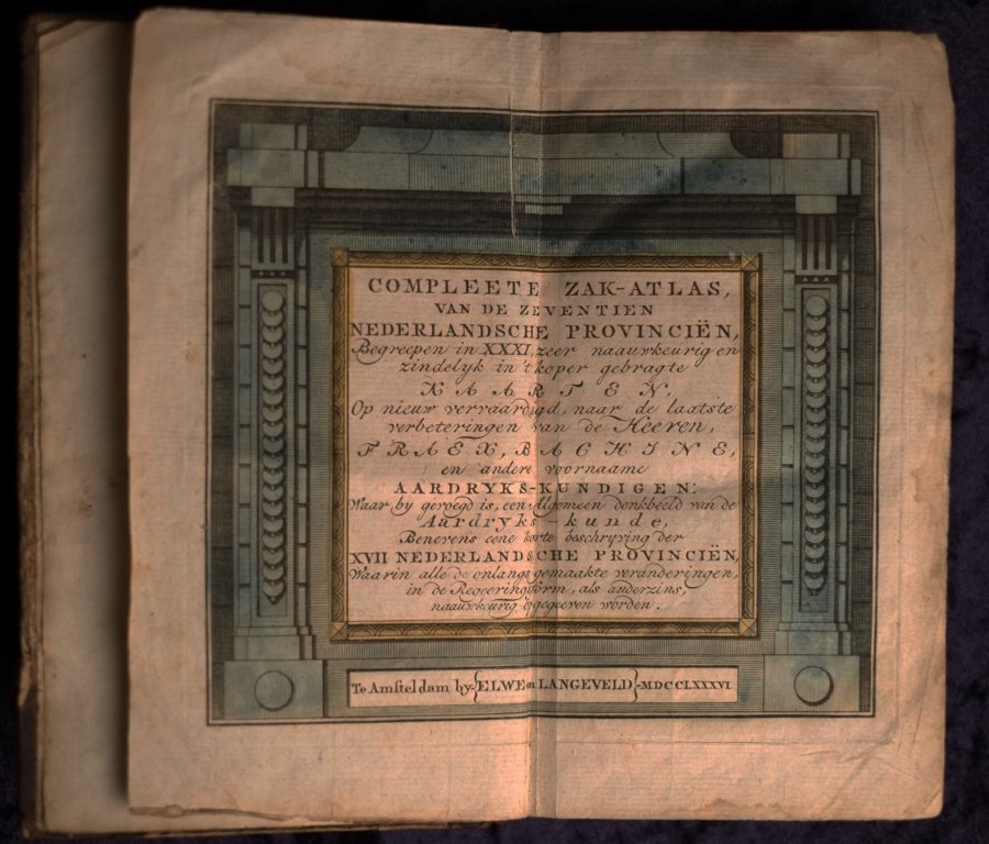
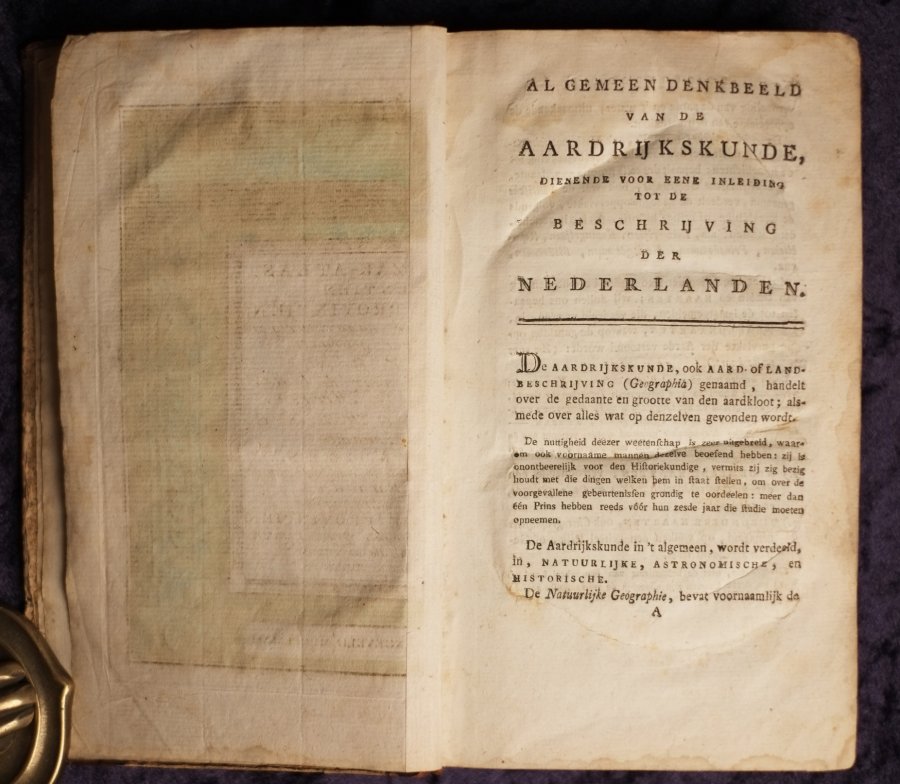
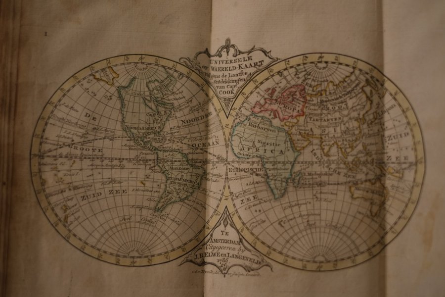
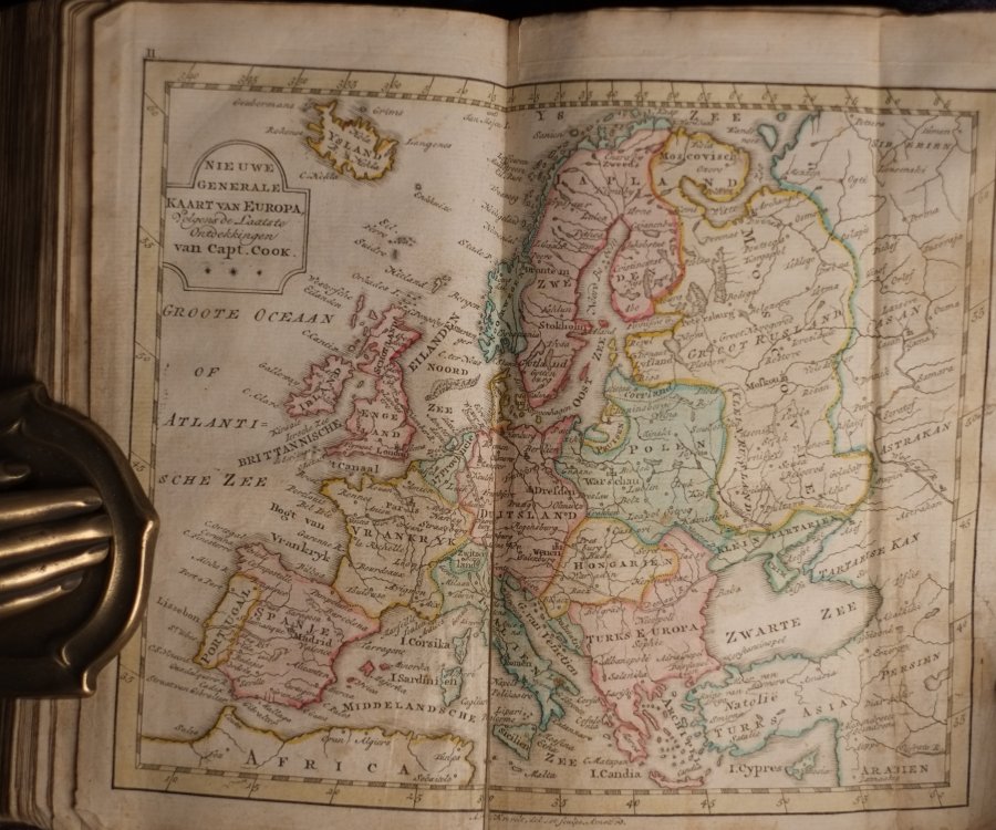
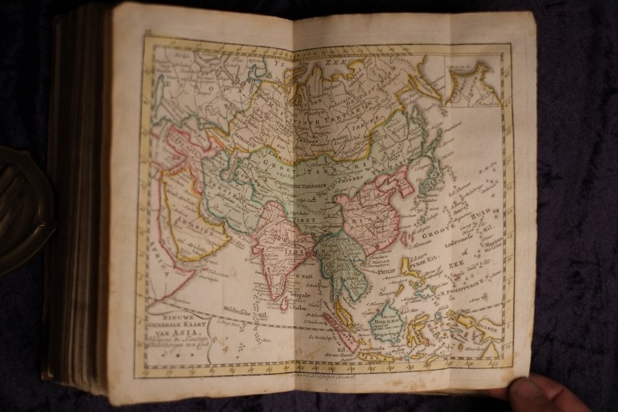
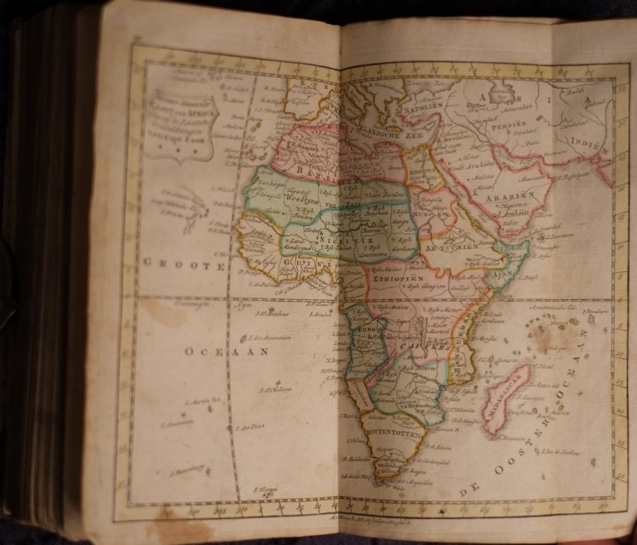
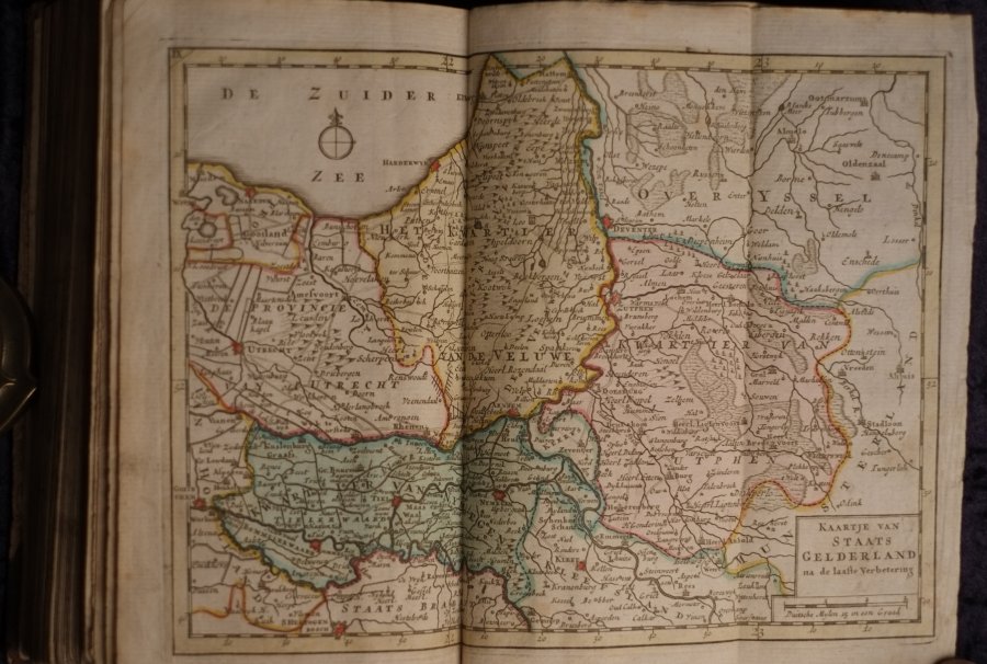
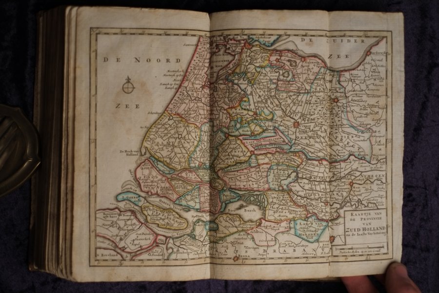
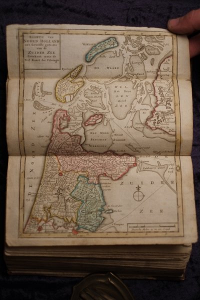
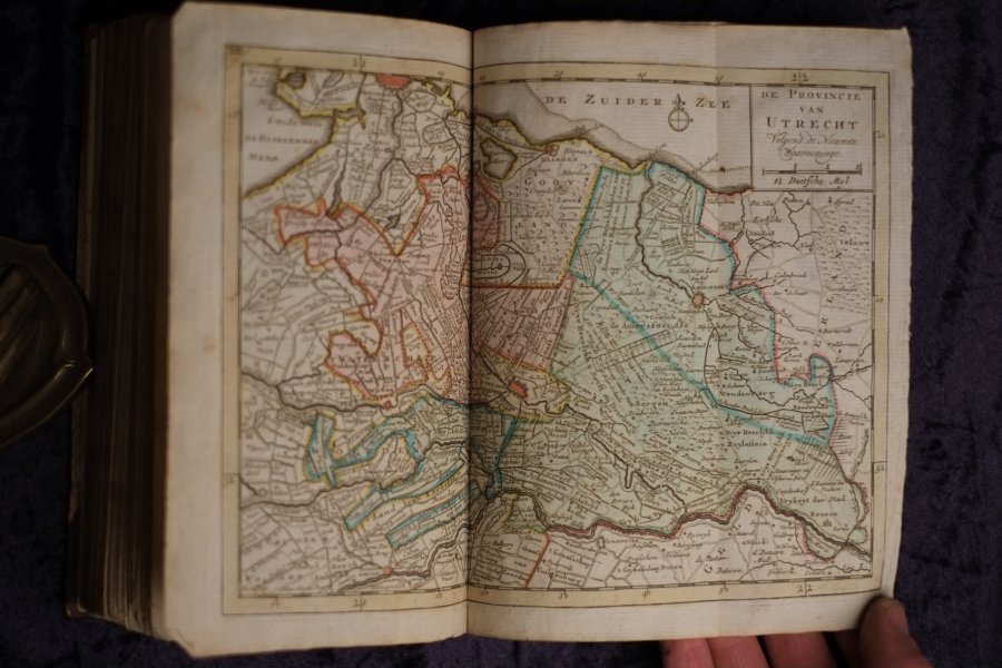
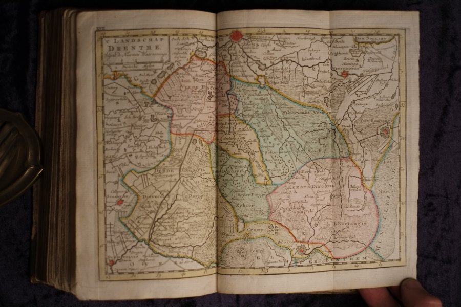
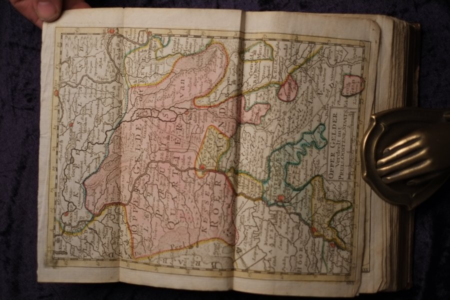
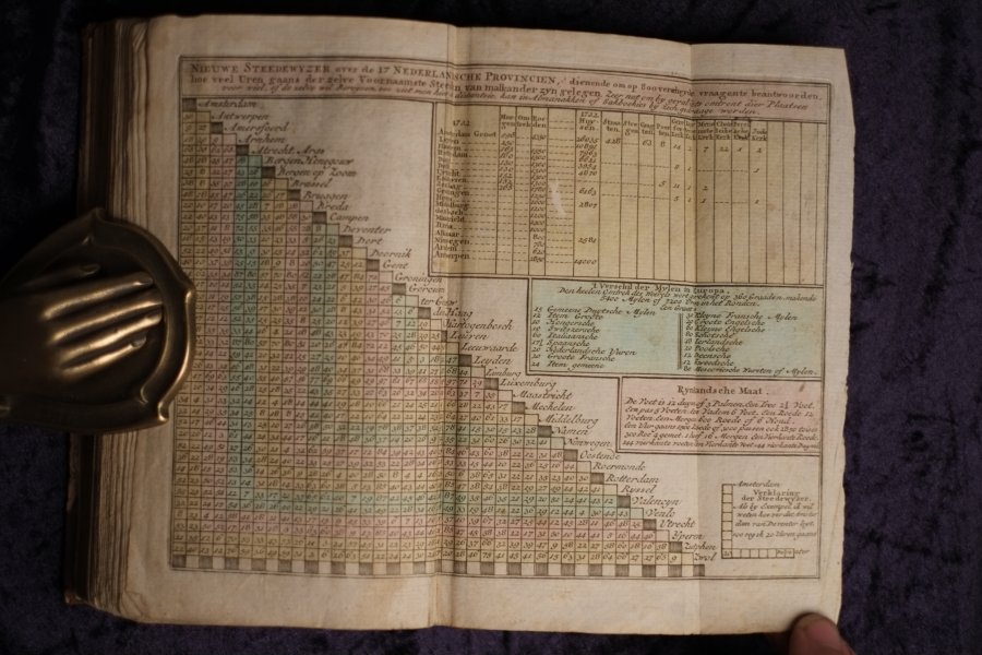
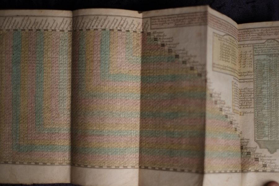
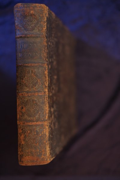
| Compleete Zak-Atlas van de zeventien Nederlandsche provincien Begreepen in XXXI, zeer naauwkeurig en zindelijk in 't koper gebragte kaarten. Op nieuw vervaardigd, naar de laatste verbeteringen van de Heer...Compleete Zak-Atlas van de zeventien Nederlandsche provincien Begreepen in XXXI, zeer naauwkeurig en zindelijk in 't koper gebragte kaarten. Op nieuw vervaardigd, naar de laatste verbeteringen van de Heeren. Fraex, Bachine en andere voorname aardrijkskundigen: Waar by gevoegd is, een algemeen denkbeeld van de Aardrijks-kunde, Benevens eene korte beschrijving der XVII Nederlandsche PROVINCIEN. Waarin alle de onlangs gemaakte veranderingen...
| details_place | Amsterdam |
| details_publisher | Elwe |
| details_complete | Yes |
| language | NLD |
| details_medium | books |
| details_illustrated | Yes |
| details_bindingdescription | Contemporary Half Leather |
| details_sizedescription | Octavo 8vo |
| details_heightcm | 20.5 |
| details_widthcm | 12 |
| details_thickcm | 3 |
| details_firstedition | No |
| details_collation | 2 Blank pages / 243 Pages / 1 NNP / 29 Folding maps / 2 Folding Table / 4 Blank pages |
| details_bookid | 1114 |
egeeringsform, als anderzins, naauwkeurig opgegeeven worden. Te Amfteldam by Elwe en Langeveld MDCCLXXXVI This book can only be viewed by appointment.
| € 1850.00
Elwe,
1786
|
moreinfo
more information |
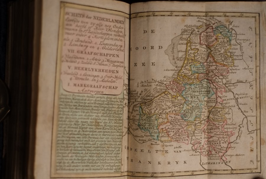
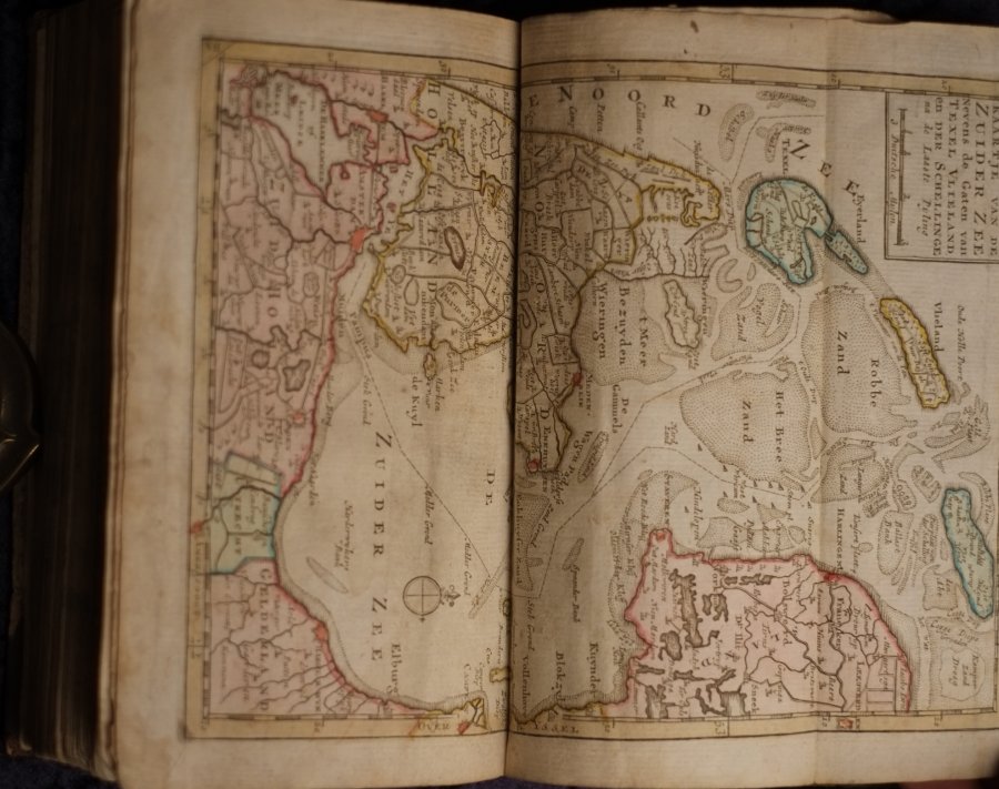
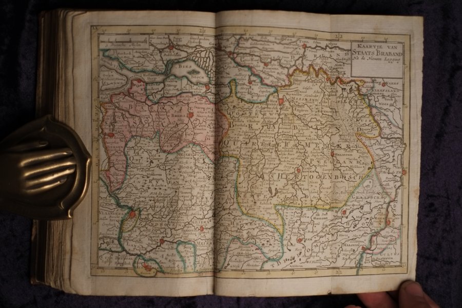
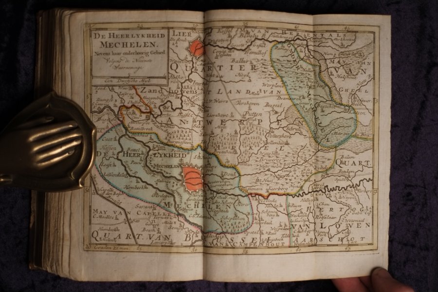
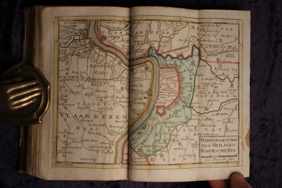
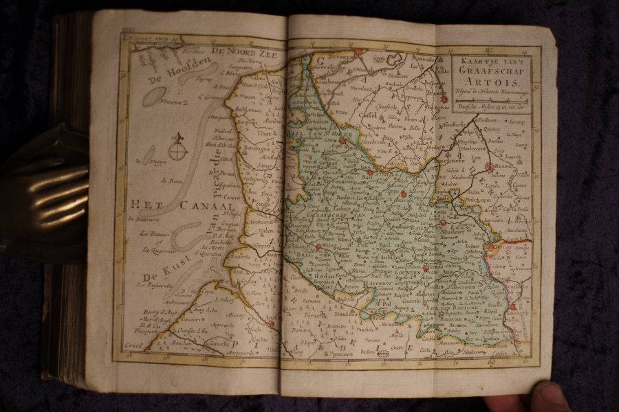
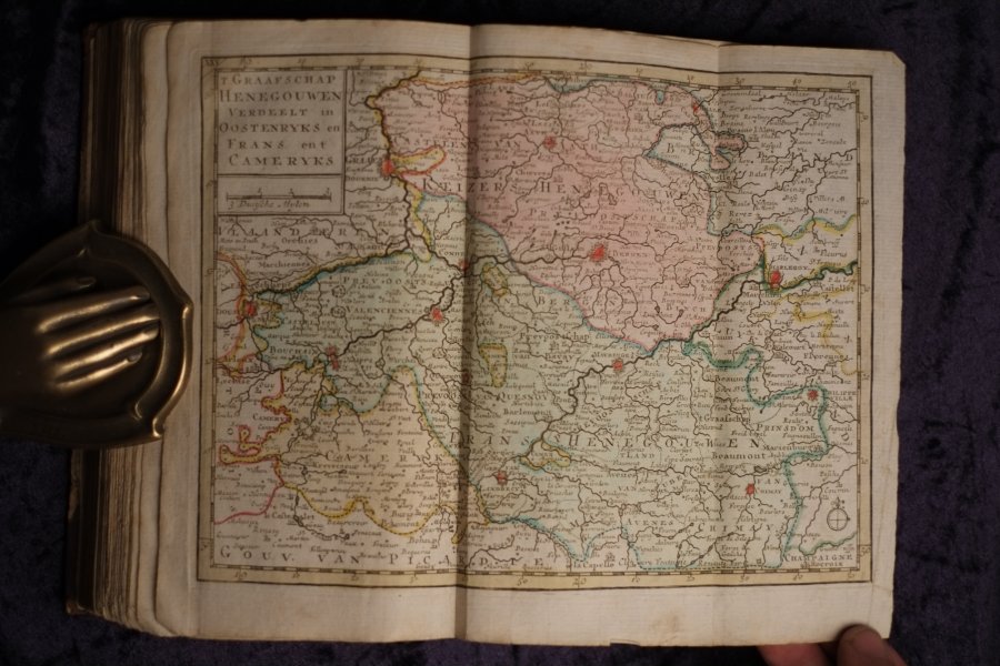
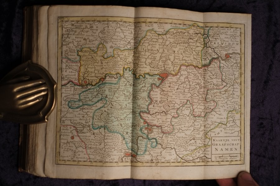
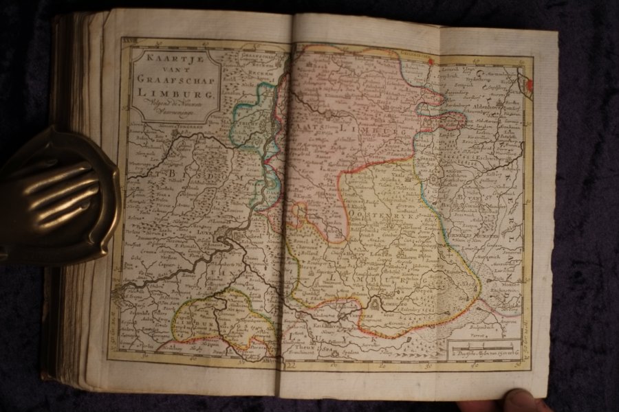
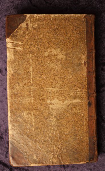
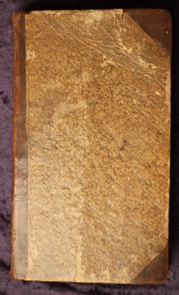
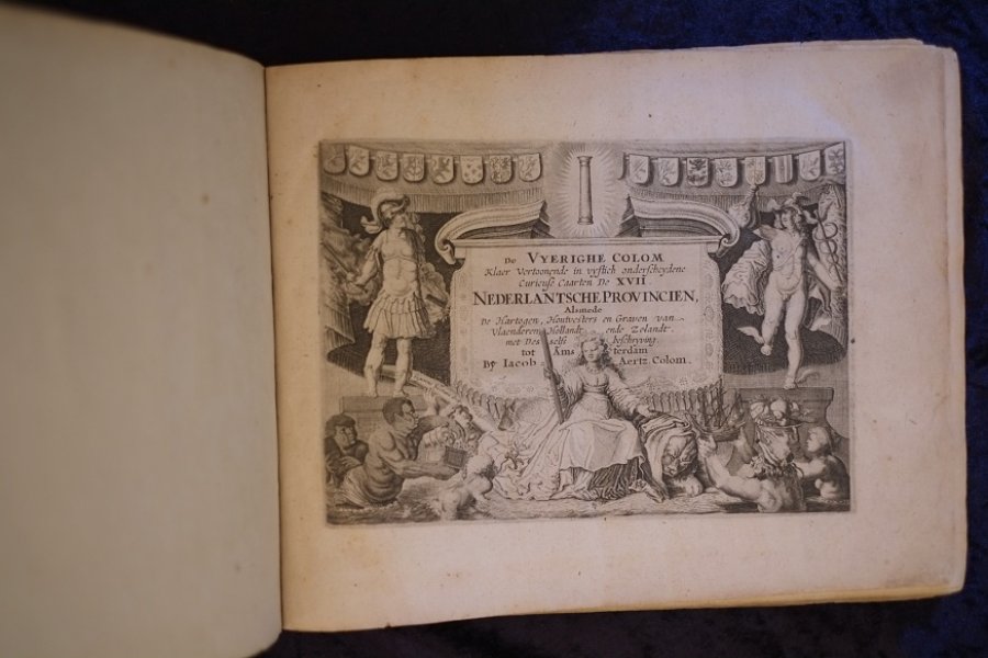
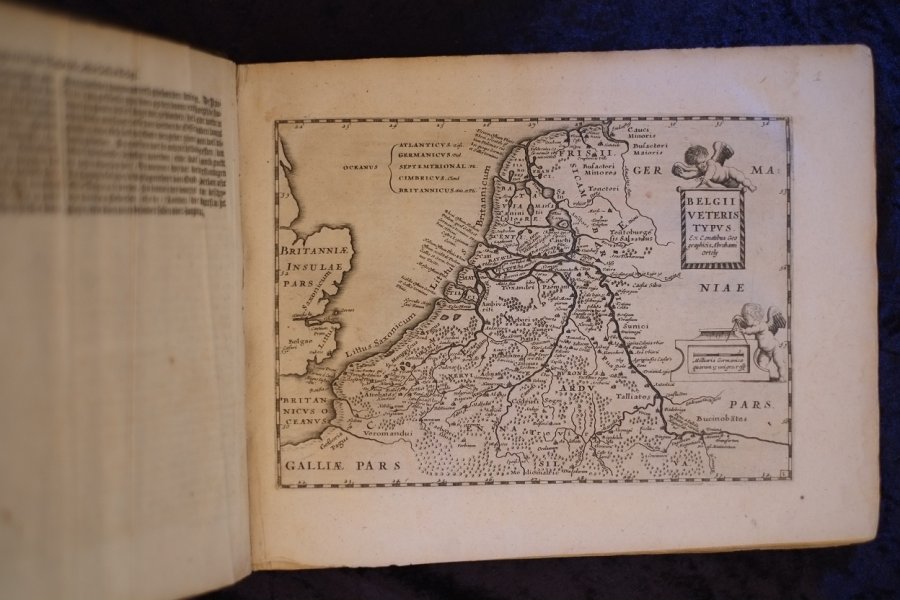
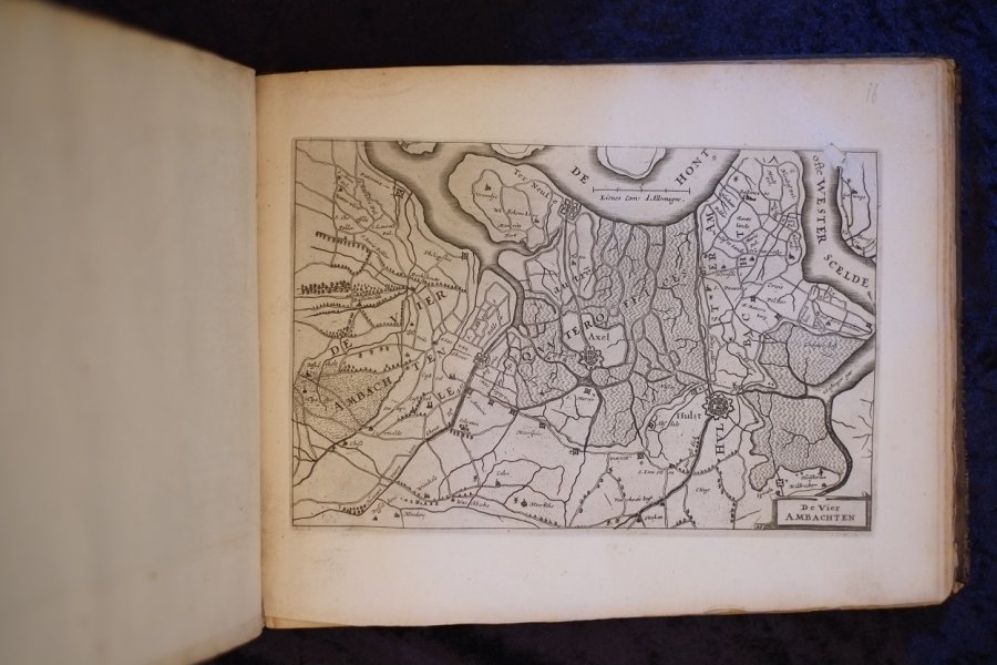
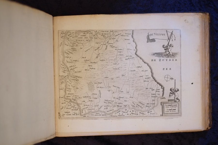
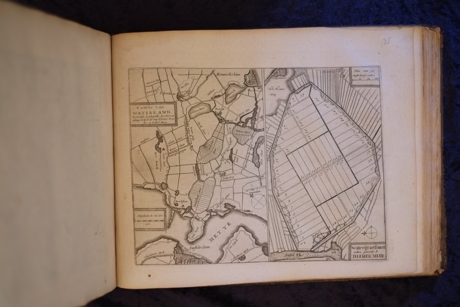
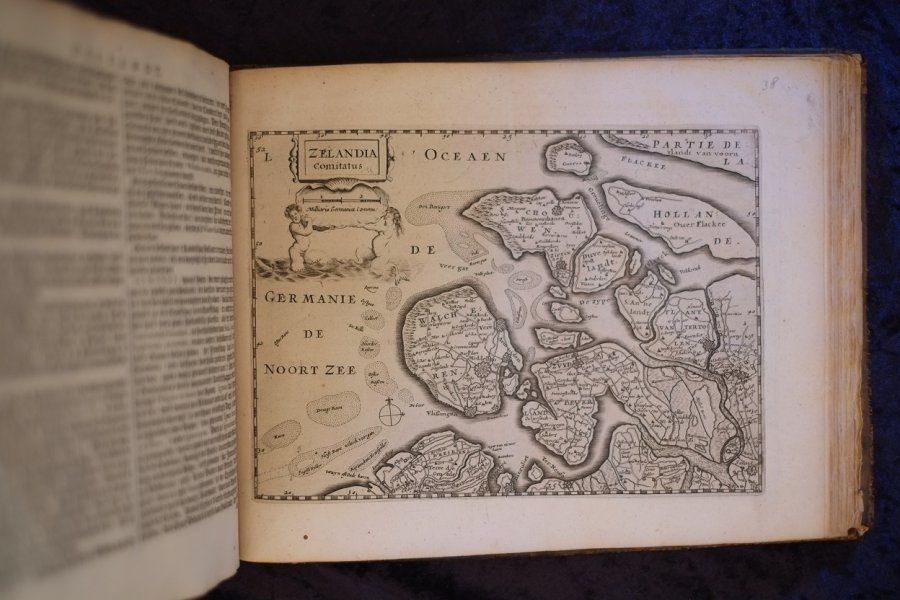
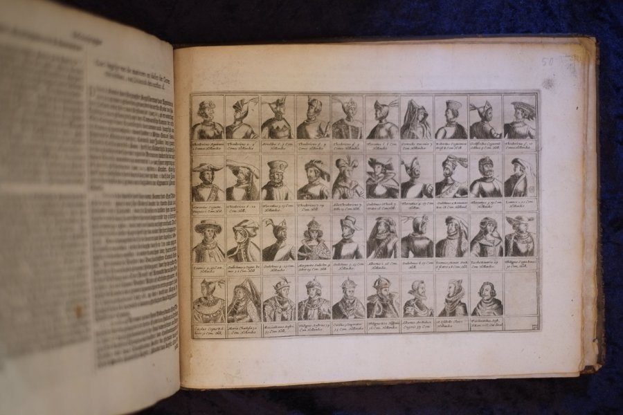
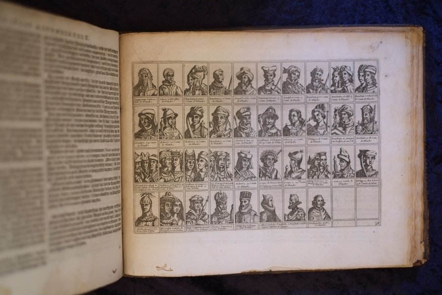
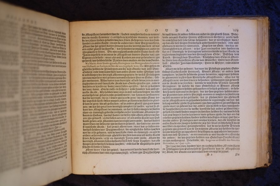
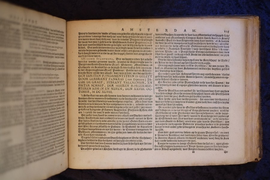
| De Vyerighe COLOM Klaer vertoonende in vyftich onderscheydene curieuse caarten de XVII Nederlantsche Provincien, Alsmede de Hartogen, Houtvesters en graven van vlaenderen Hollandt ende Zelandt met Desself...De Vyerighe COLOM Klaer vertoonende in vyftich onderscheydene curieuse caarten de XVII Nederlantsche Provincien, Alsmede de Hartogen, Houtvesters en graven van vlaenderen Hollandt ende Zelandt met Desselfs befschryving. tot Amsterdam By Iacob AertzColom. Oblong atlas of the XVII Provinces of the Netherlands.
| details_place | Amsterdam |
| details_publisher | Iacob Aertz Colom |
| details_complete | Yes |
| details_conditiontext | 3 NNP are bound in a wrong order, as well as page 5,7, and 9, none missing |
| language | NLD |
| details_medium | books |
| details_illustrated | Yes |
| details_bindingdescription | Contemporary Full Leather |
| details_sizedescription | Octavo 8vo |
| details_heightcm | 22 |
| details_widthcm | 29 |
| details_thickcm | 4 |
| details_firstedition | No |
| details_collation | 2 Blank pages / 4 Pages / 14 NNP / 223 Pages / 2 NNP / 3 Blank pages / 47 Maps / 3 Engraved Plates |
| details_bookid | 619 |
With 47 full-page engraved maps and 3 full-page plates with portraits. This book can only be viewed by appointment.
| € 2485.00
Jacob Aertsz Colom,
1660
|
moreinfo
more information |
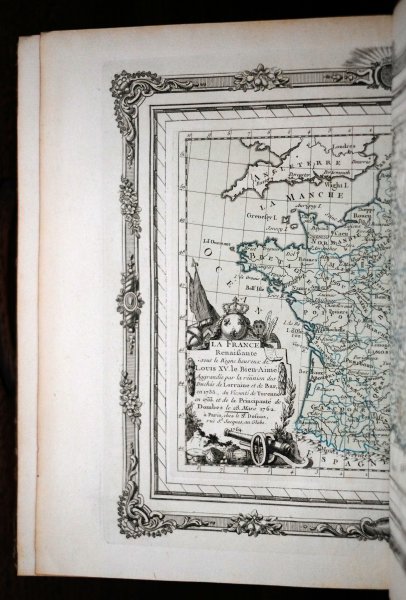
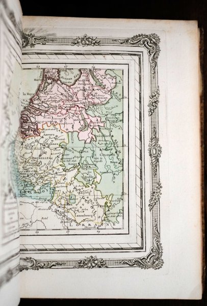
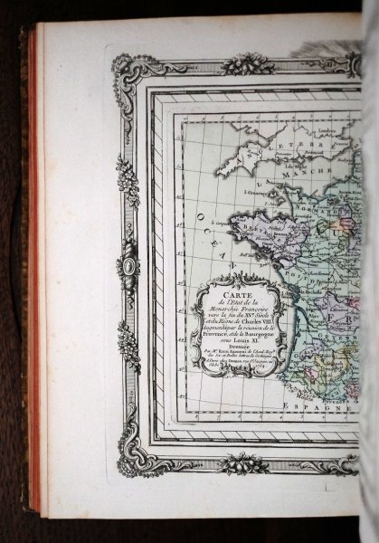
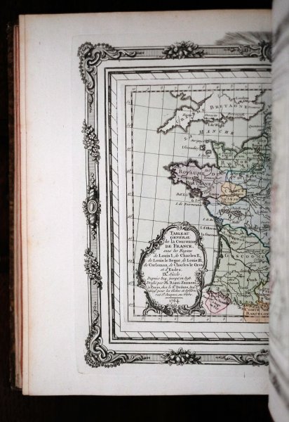
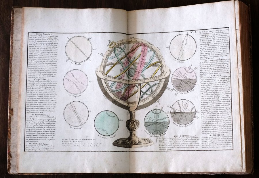
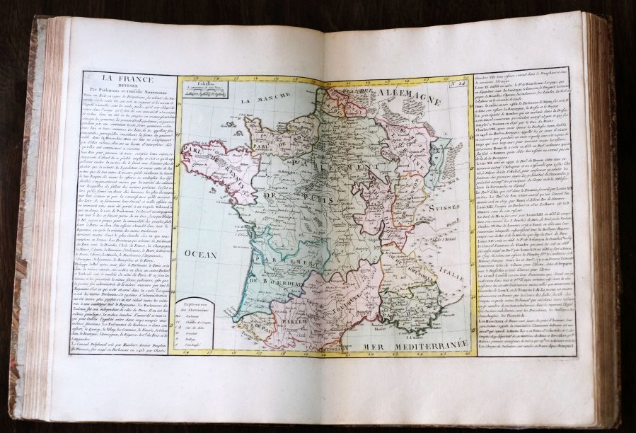
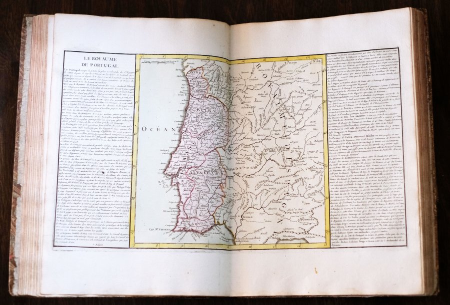
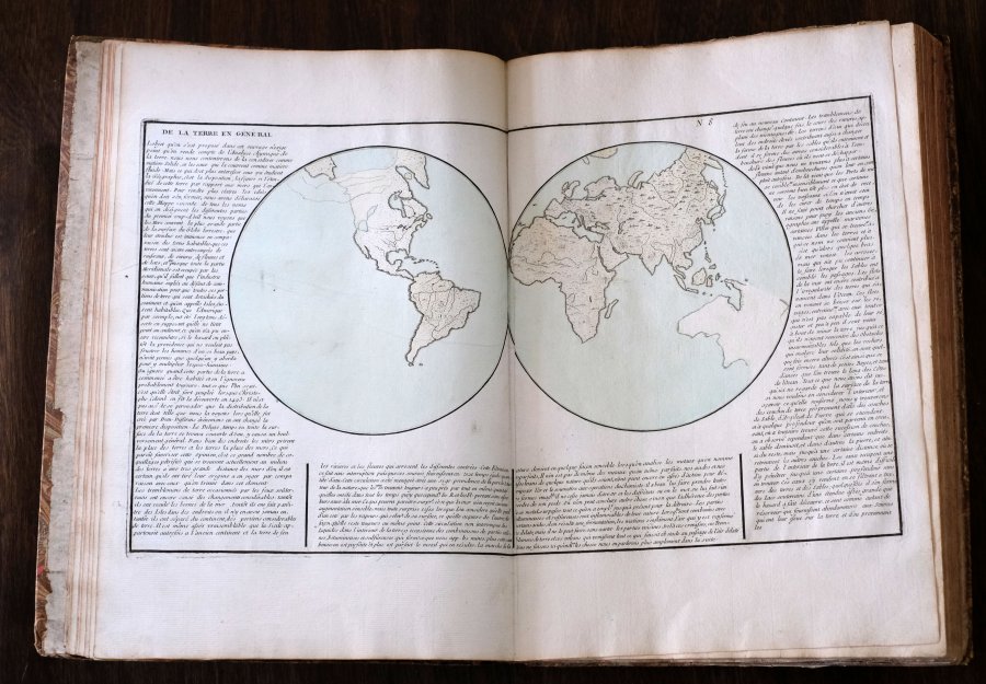
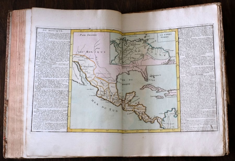
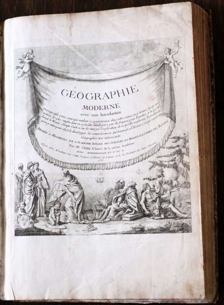
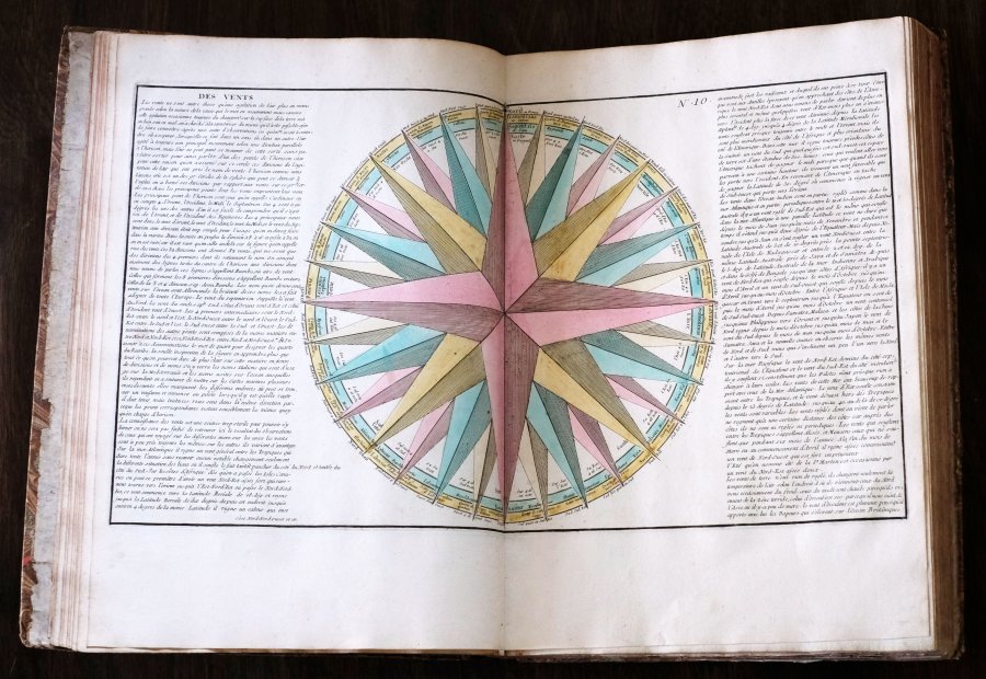
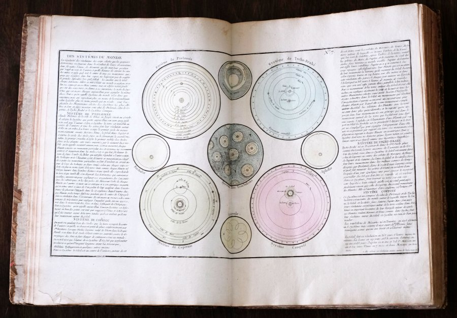
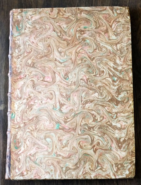
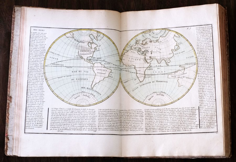
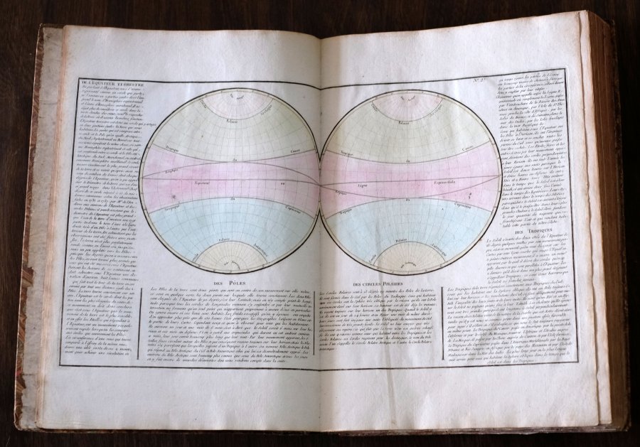
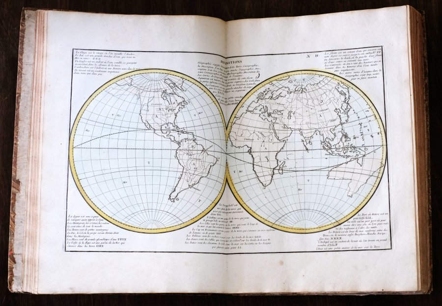
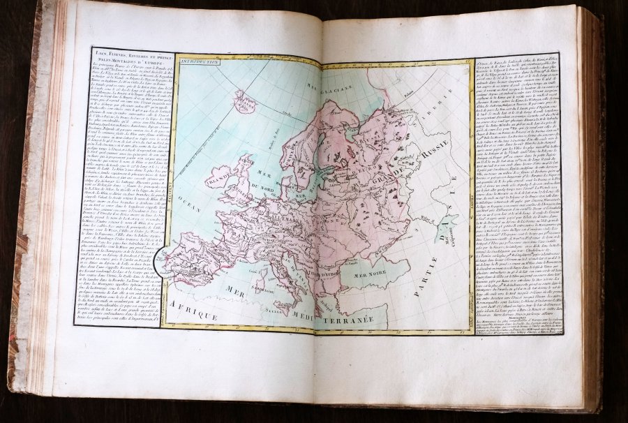
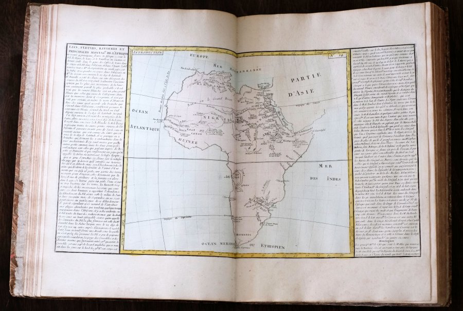
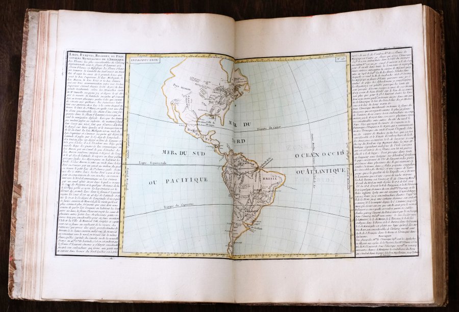
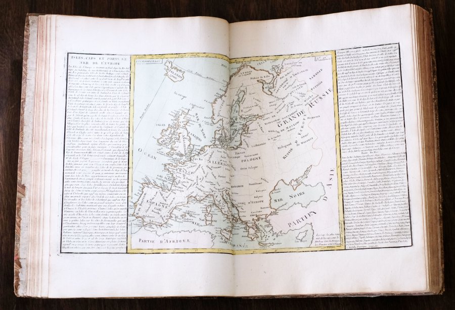
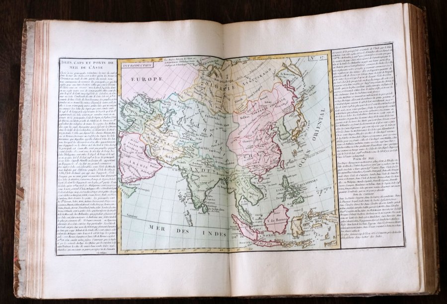
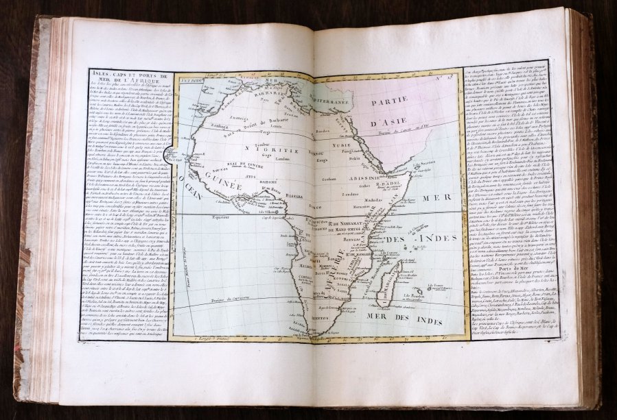
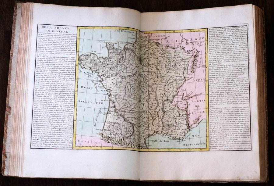
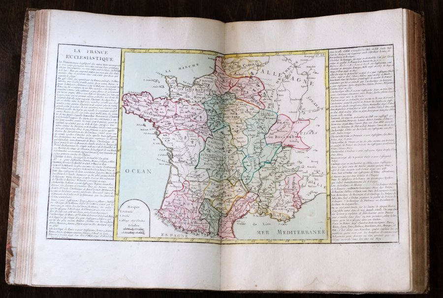
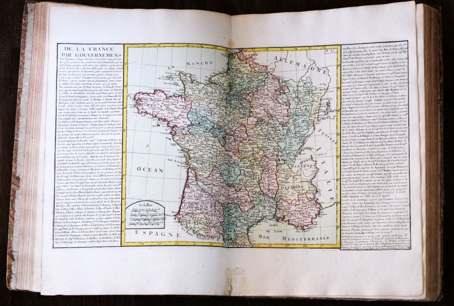
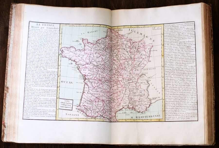
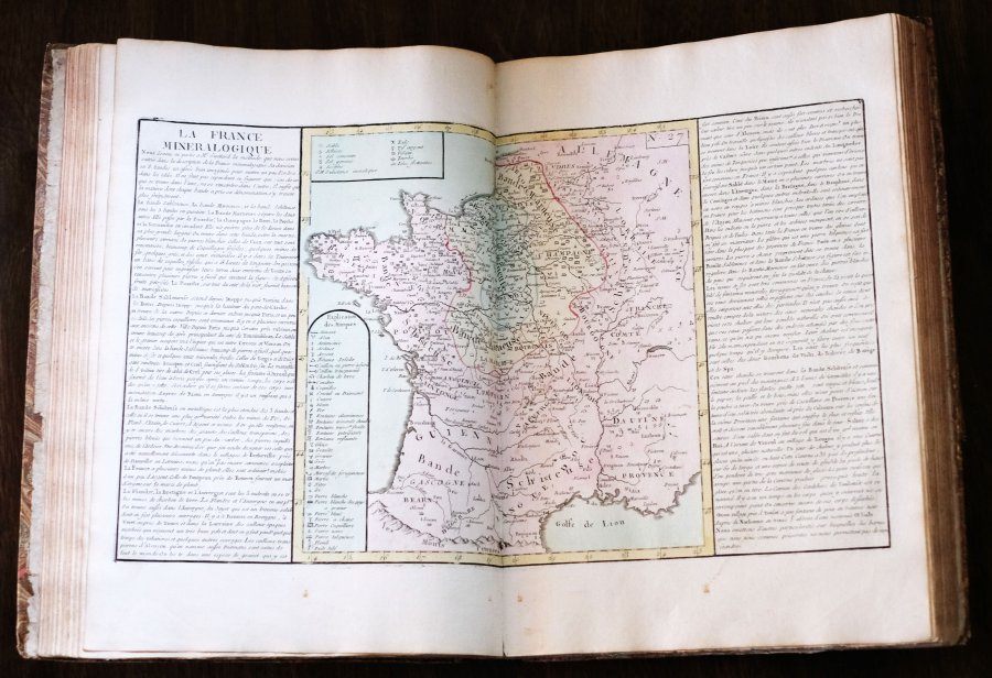
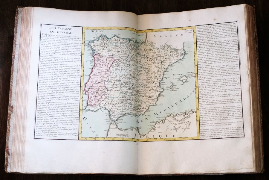
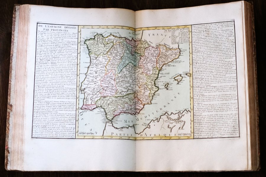
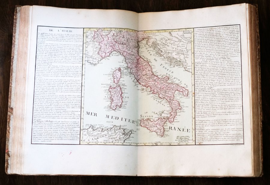
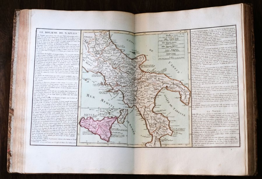
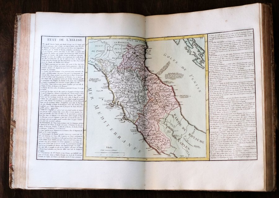
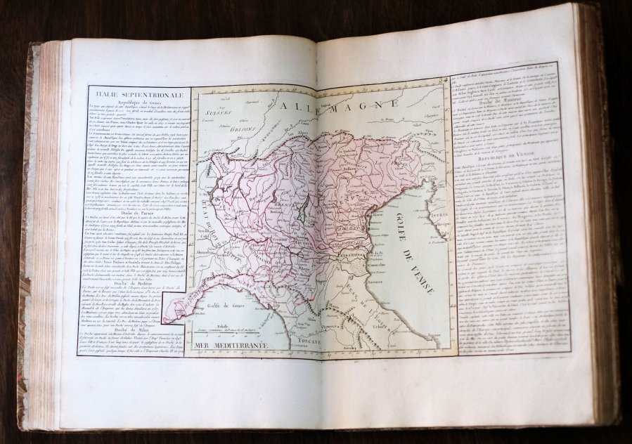
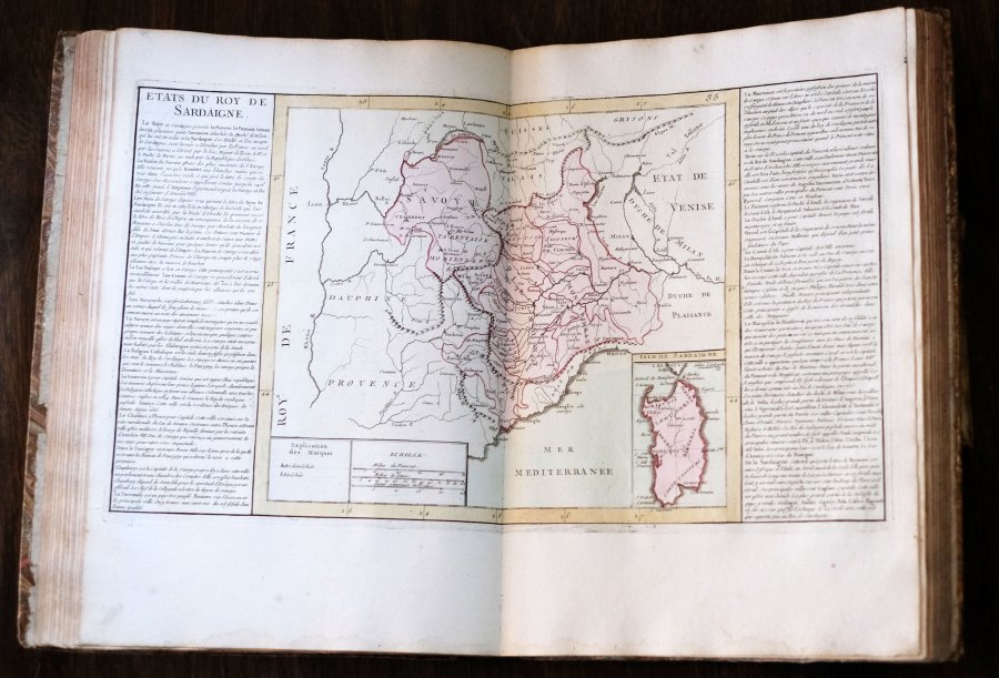
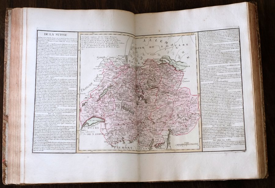
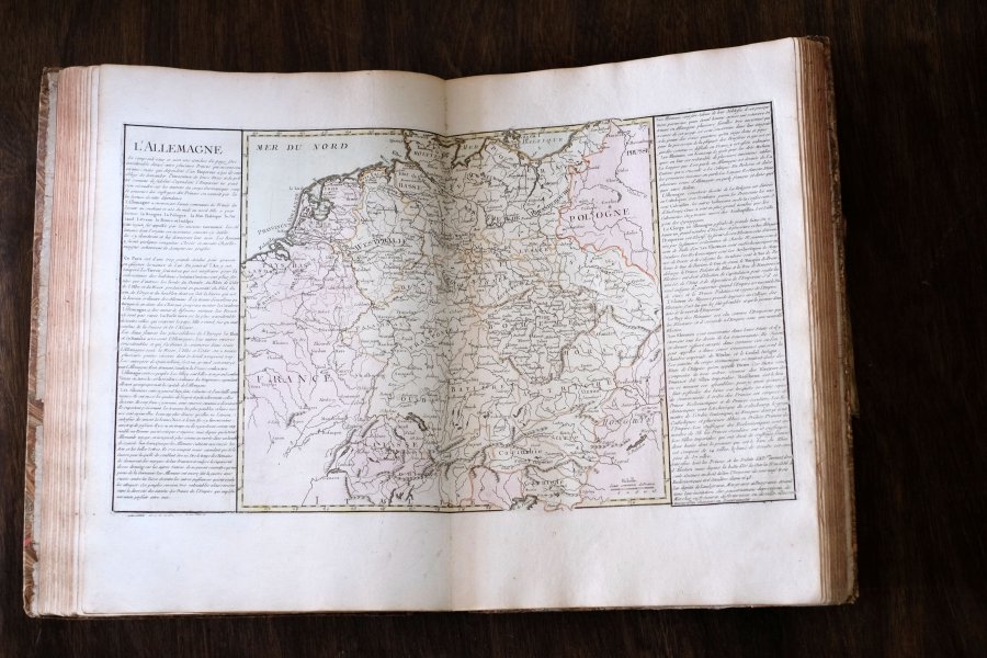
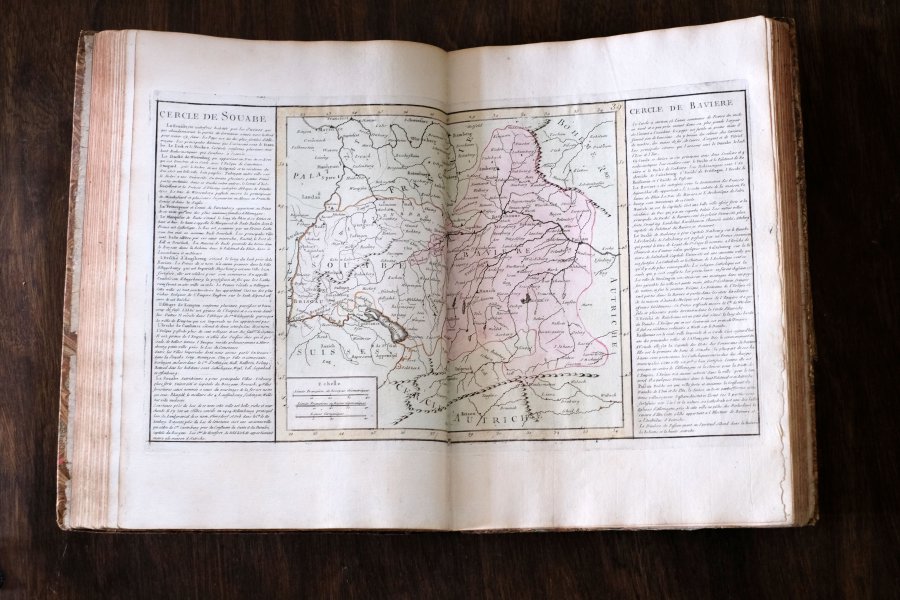
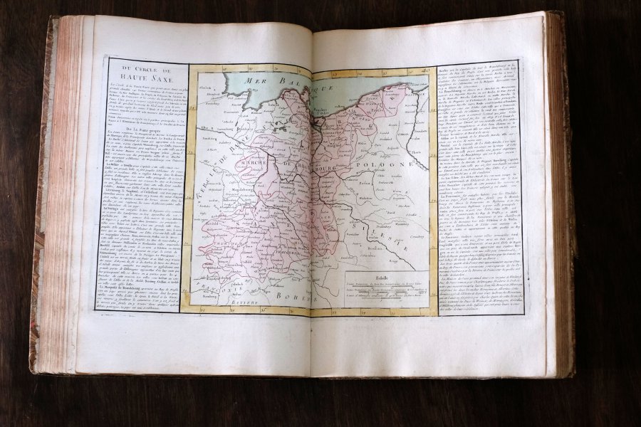
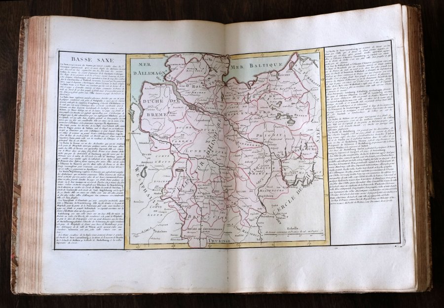
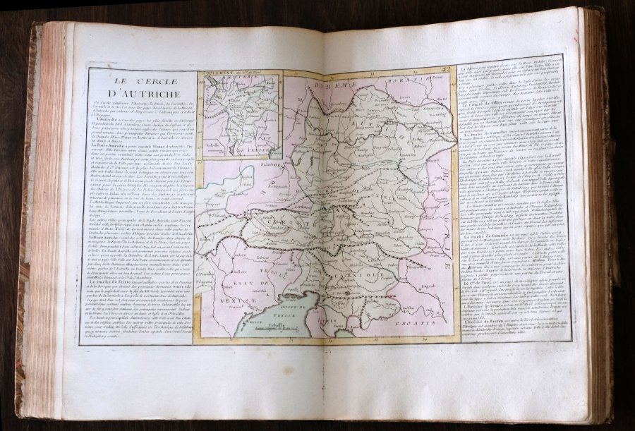
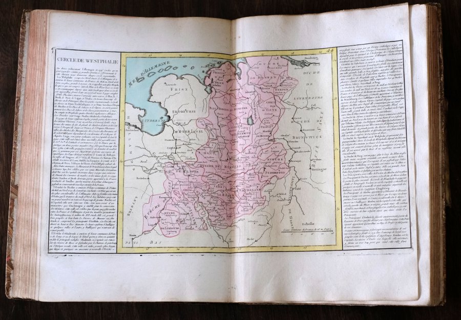
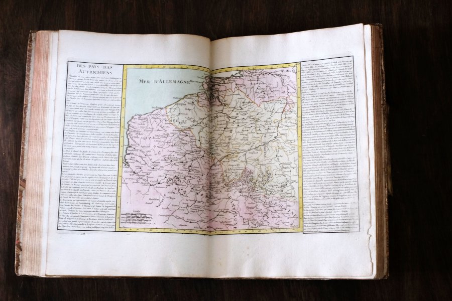
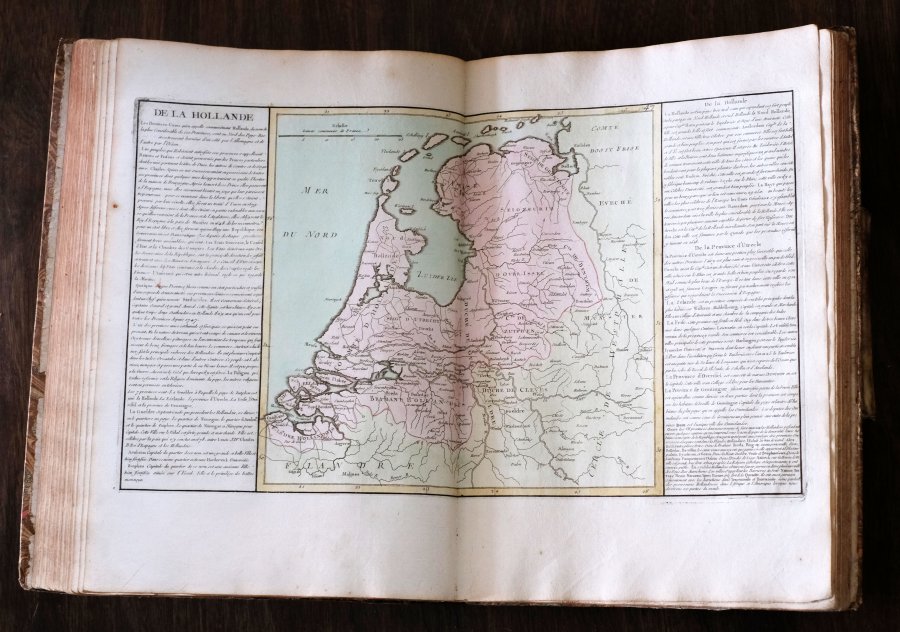
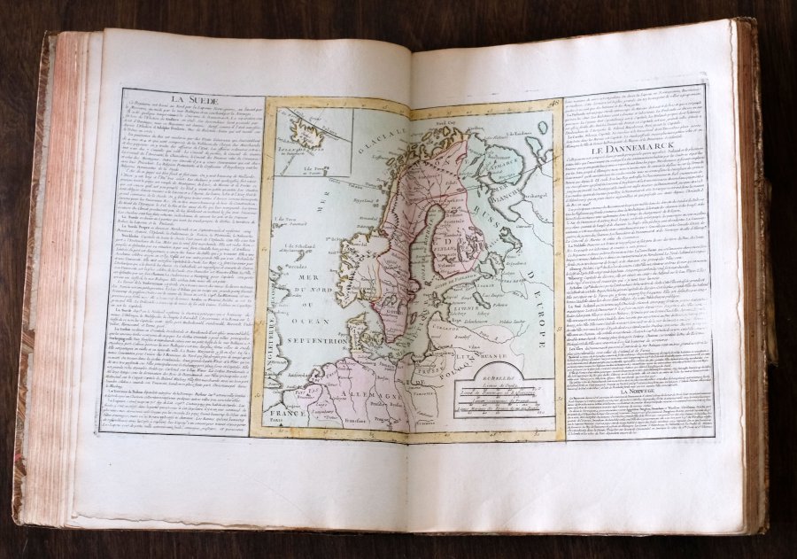
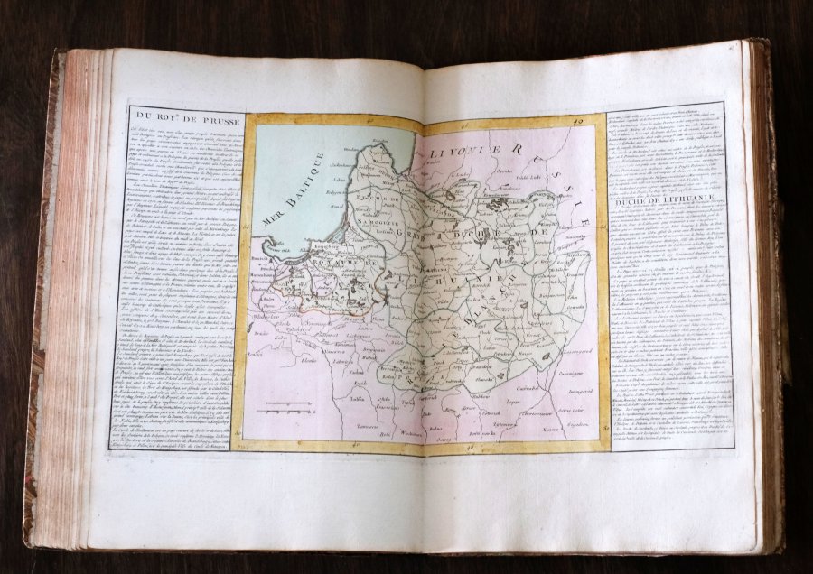
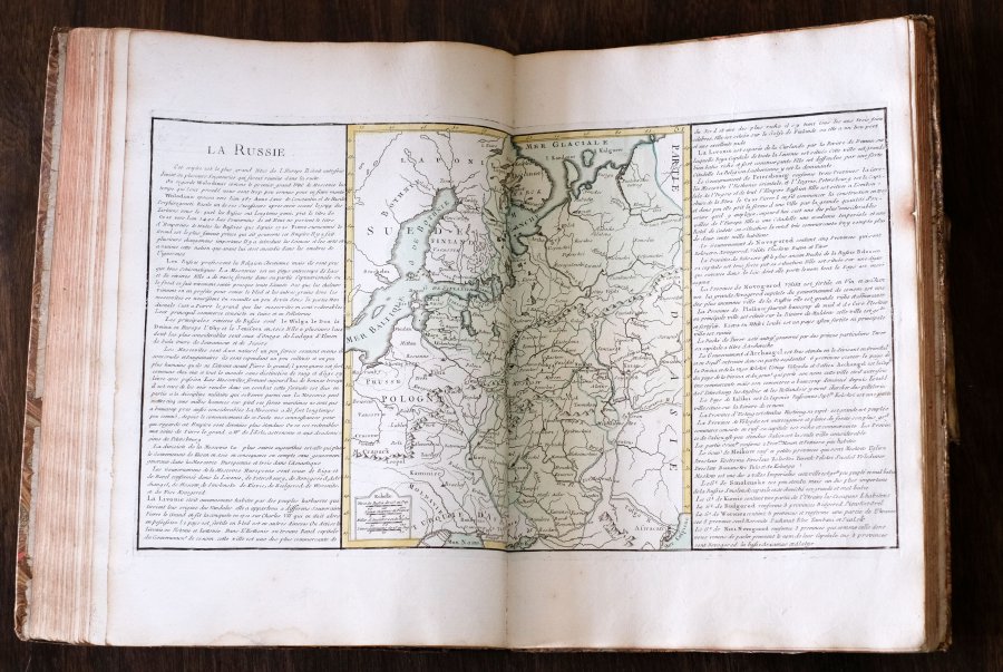
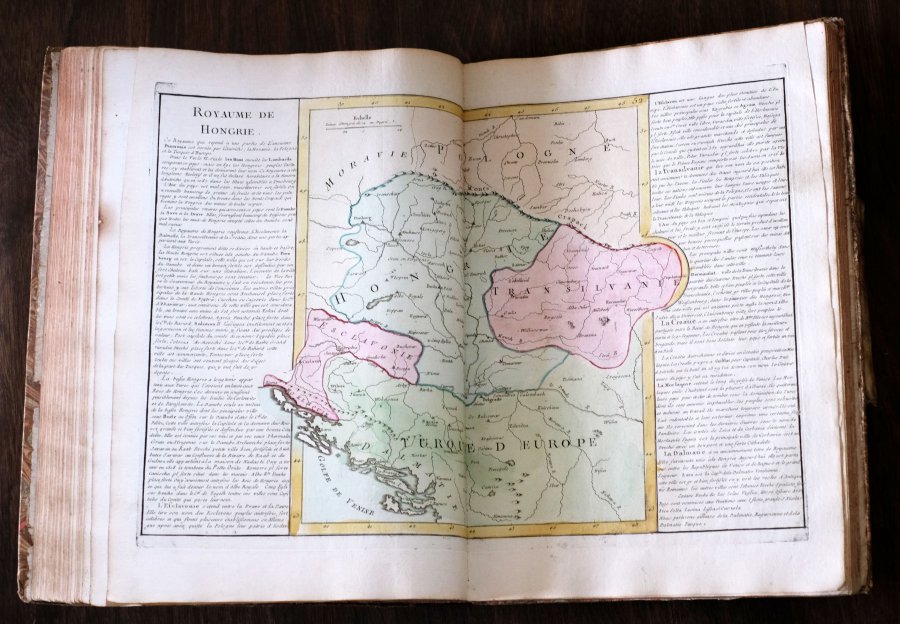
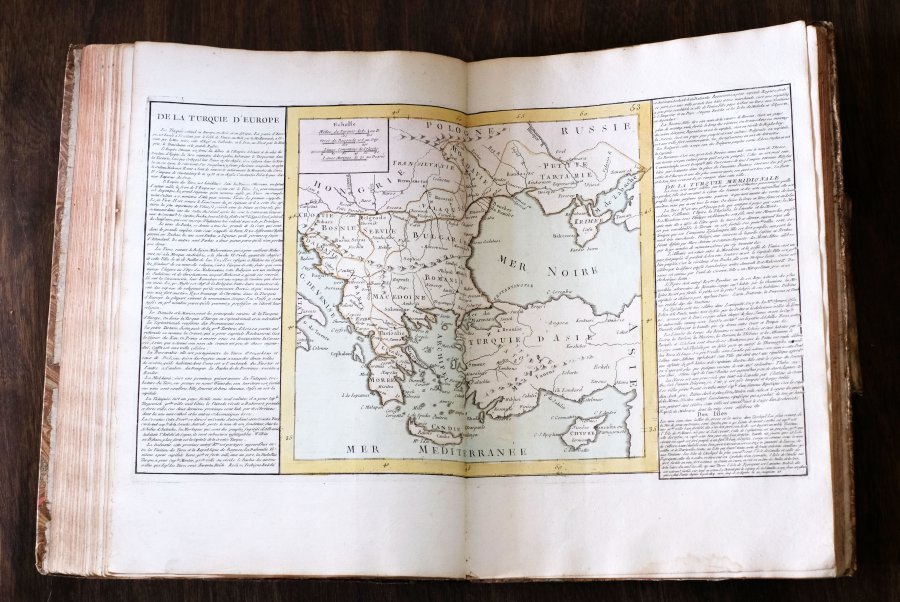
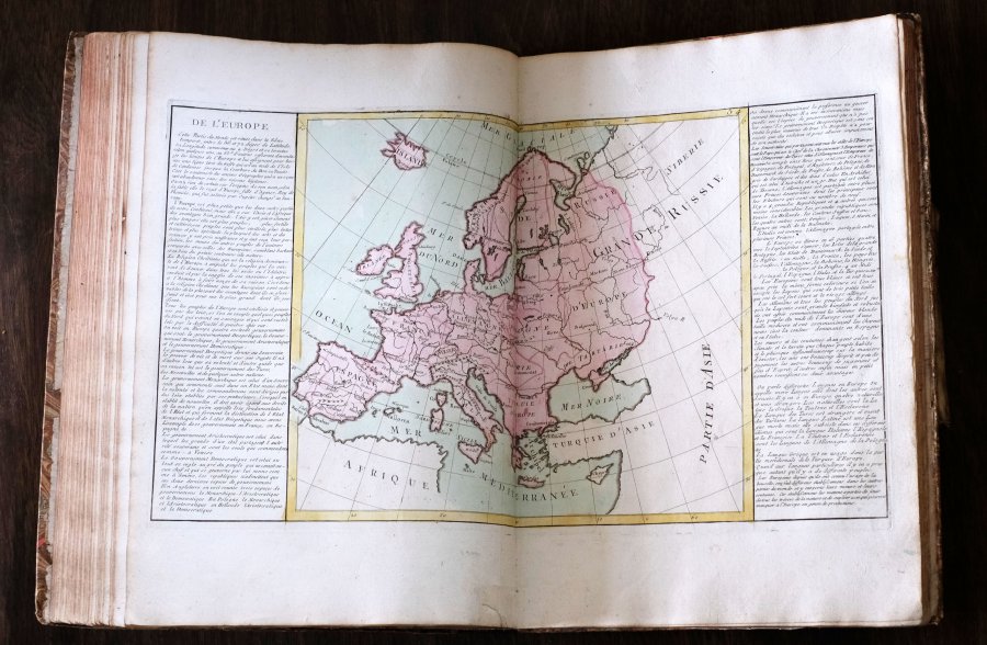
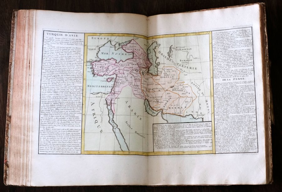
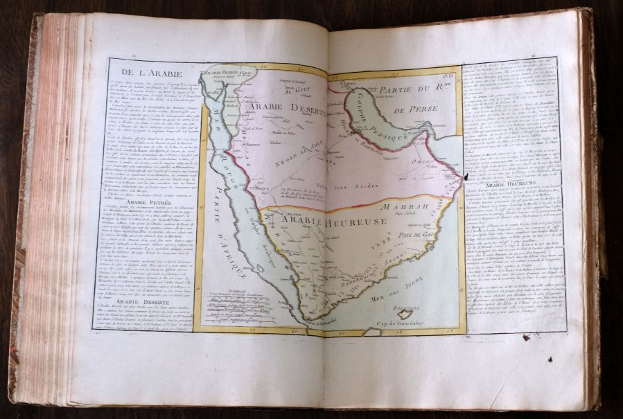
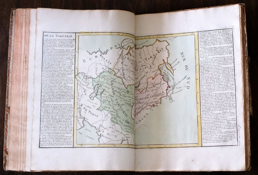
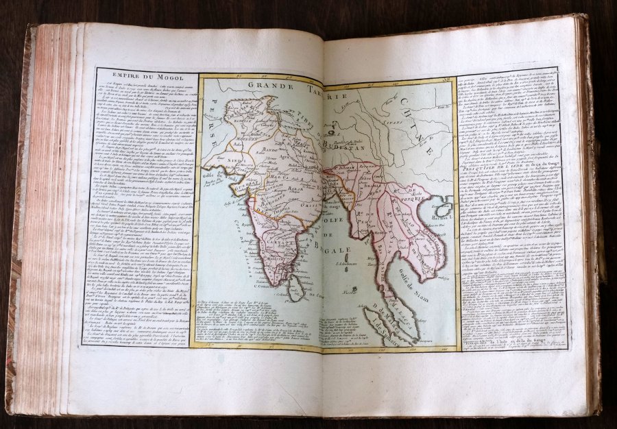
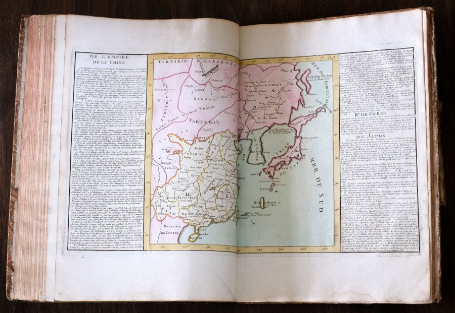
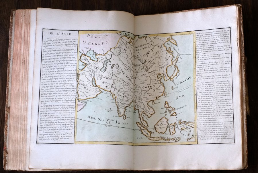
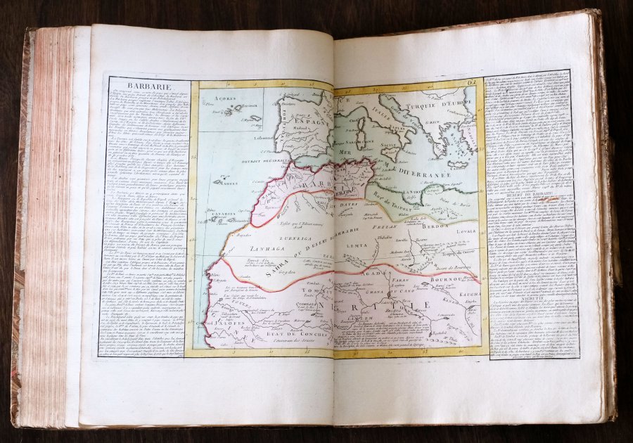
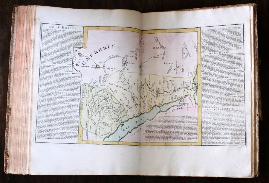
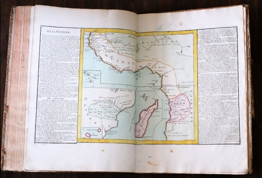
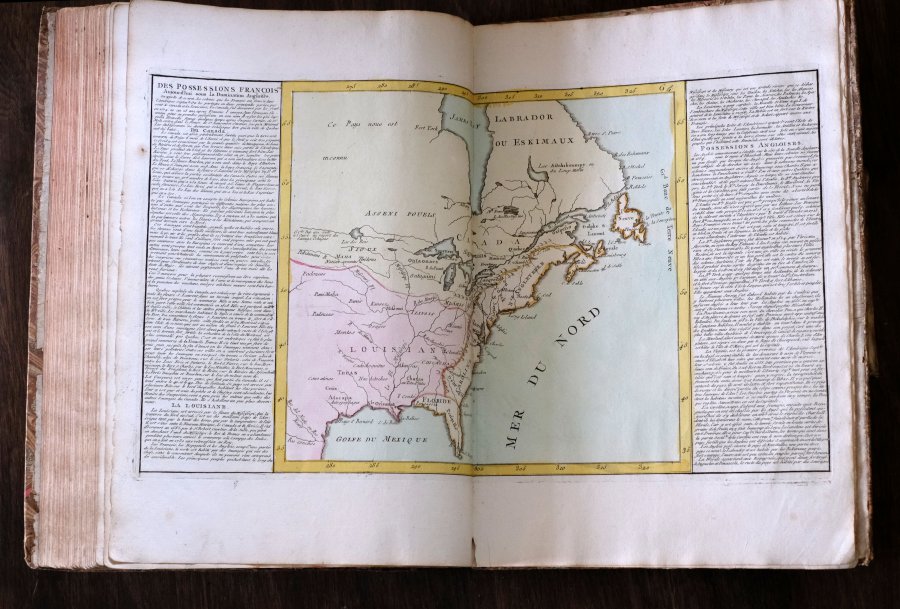
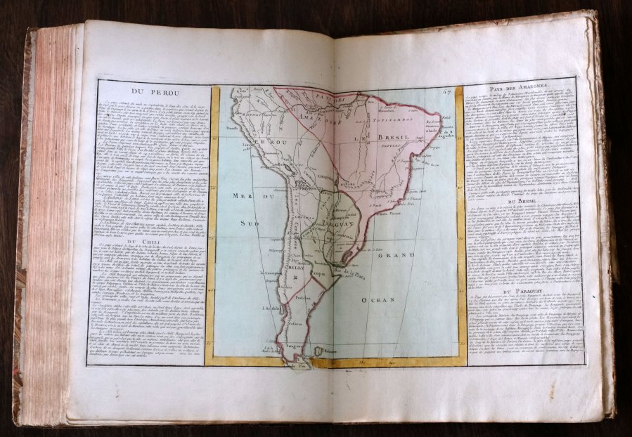
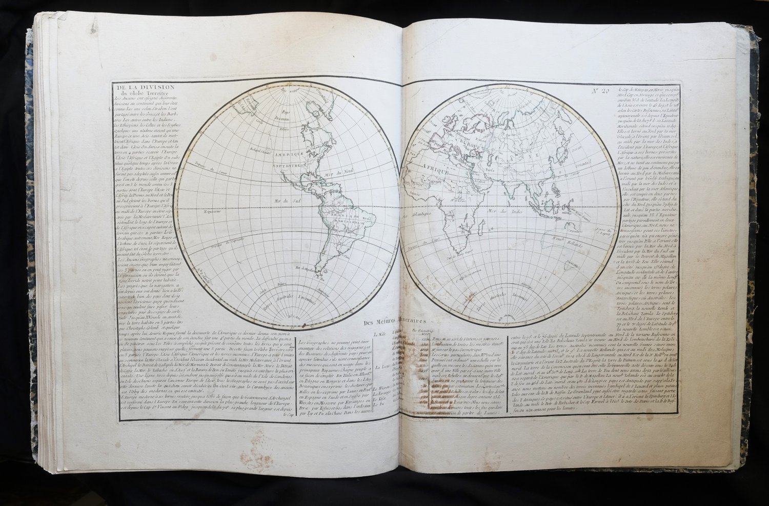
| Géographie Moderne avex une Introduction. Ouvrage utile a tous ceux qui veulent se perfectionner dans cette Science, on y trouve jesqu' aux notions les plus simples dont on a facilité l'intelligence par...Géographie Moderne avex une Introduction. Ouvrage utile a tous ceux qui veulent se perfectionner dans cette Science, on y trouve jesqu' aux notions les plus simples dont on a facilité l'intelligence par des Figures pour lemettre a la portée de tout le Monde, Chaque Carte a sur les marges l'explication de ce qu'elle renserme, la methode qu'on y suit a pour objet de developper les connoissances qui tiennent a 'Histoire, ce qui rend cette Géographie tres interessante. Dediée a Messieurs de l'Academie Royale des Sciences et Belles-Lettres de Rouen Par mr. l'Abbé Clouet de la même Académie. Avec approbation et P. du R. À Paris chez Mondhare rue Saint Jacques a l'Hotal de Summer pres la Fontaine de Saint severus. 1767.
| details_place | Paris |
| details_publisher | Mondhare Saint Jacques |
| details_complete | Yes |
| details_condition | 9 |
| language | FRA |
| details_medium | books |
| details_illustrated | Yes |
| details_bindingdescription | Contemporary Half Leather |
| details_sizedescription | Elephant Folio |
| details_heightcm | 44.5 |
| details_widthcm | 31 |
| details_thickcm | 4 |
| details_firstedition | Yes |
| details_auteur_code | CLOUET |
| details_gewicht | 0.30 |
| details_collation | 1 NNP / 1 Tables / 68 Double page maps / 2 Blank pages |
| details_bookid | 3308 |
This book can only be viewed by appointment.
| € 2375.00
Clouet,
1767
|
moreinfo
more information |
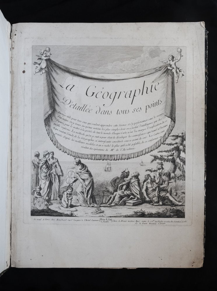
| La géographie détaillée dans tous ses points.La géographie détaillée dans tous ses points.
| details_place | Paris |
| details_publisher | Mondhard et L. Denis |
| details_complete | Yes |
| details_condition | 7 |
| language | FRA |
| details_medium | books |
| details_illustrated | Yes |
| details_sizedescription | Elephant Folio |
| details_heightcm | 43 |
| details_widthcm | 34 |
| details_thickcm | 1.2 |
| details_firstedition | No |
| details_gewicht | 1.26 |
| details_bookid | 5876 |
Not dated, date is an estimate.
| € 685.00
1761
|
moreinfo
more information |


 Atlases (6)